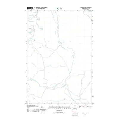
2011 Map of Anderson Lake
USGS Topo · Published 2011About this map
The Escanaba River and its numerous tributaries dominate this northern Michigan landscape, where the water table is expressed in an intricate cluster of named lakes. Towards the northwest corner, a dense network of glacial basins includes Tonkowa Lake, Sleighrunner Lake, Beltrame Lake, and Flacks Lakes. The Anderson Lake West State Forest Campground provides the primary point of recreational access near Anderson Lake, situated along the winding route of County Hwy EDD.
Find a feature on this map
34 named features on this map. Tap any name to fly to it.
Don’t see what you’re looking for? This feature index may not catch every label — zoom into the map to look around manually.
Map Details
Editions of this 2011 Anderson Lake Map
This is the sole edition of this map. No revisions or reprints were ever made.
Other maps of this area

1932 · Helena NW
USGS Topo · 1:31,680

1932 · Helena NE
USGS Topo · 1:31,680

1932 · Harvey SE
USGS Topo · 1:31,680

1932 · Harvey SW
USGS Topo · 1:31,680

1932 · Helena SW
USGS Topo · 1:31,680

1932 · Helena
USGS Topo · 1:31,680

1951 · Helena SW
USGS Topo · 1:31,680

1951 · Helena
USGS Topo · 1:31,680

1951 · Helena NE
USGS Topo · 1:31,680

1951 · Helena NW
USGS Topo · 1:31,680