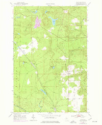
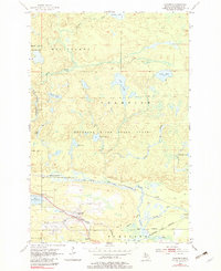
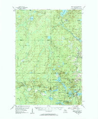
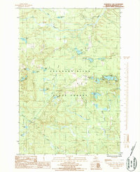
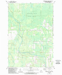
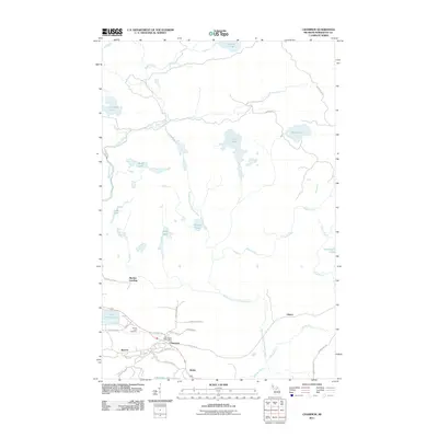
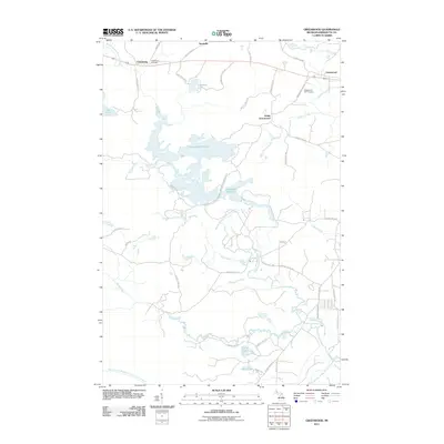
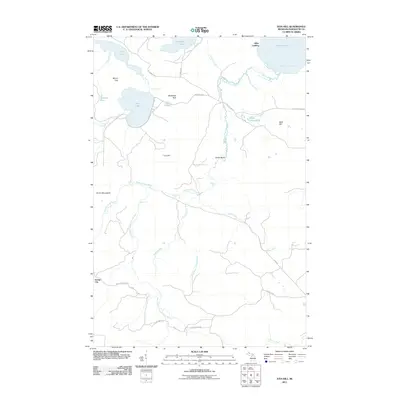
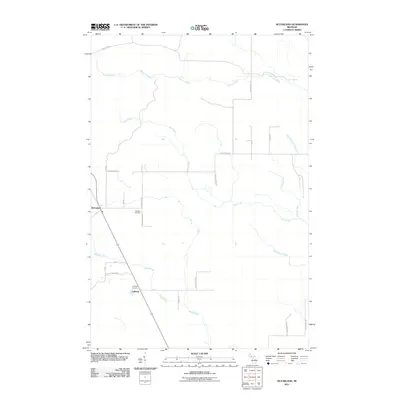
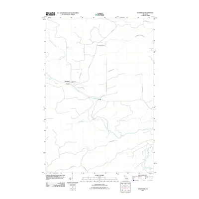
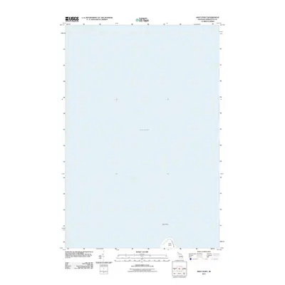
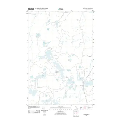
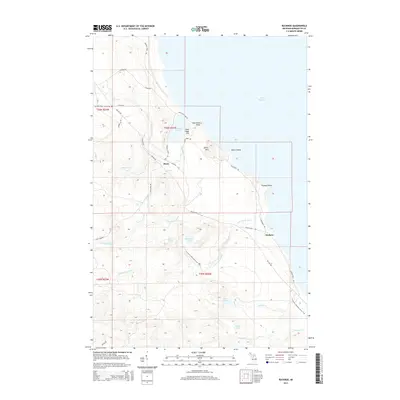
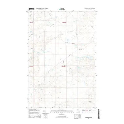
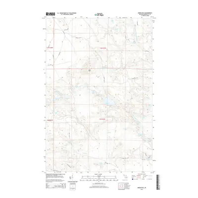
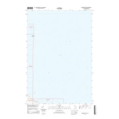
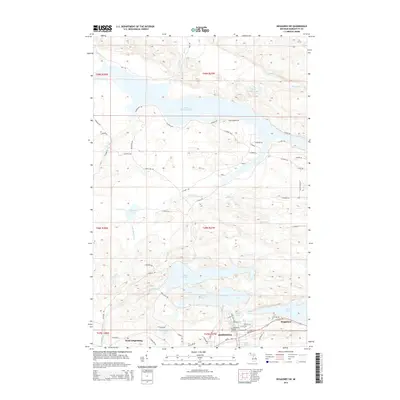
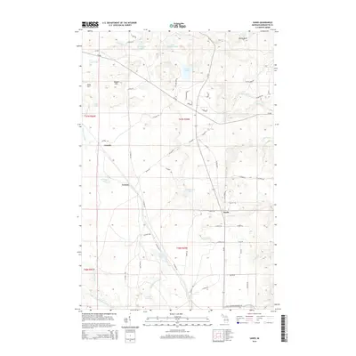
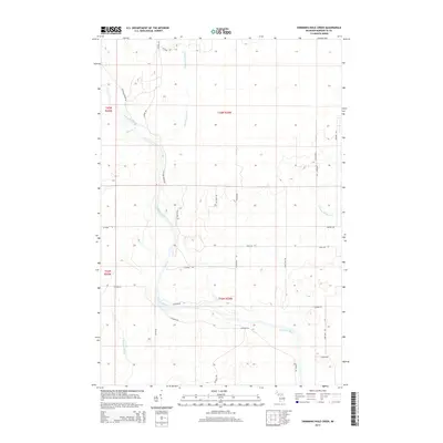
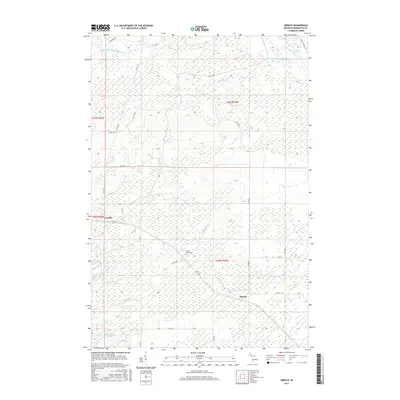
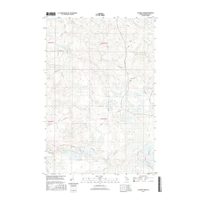
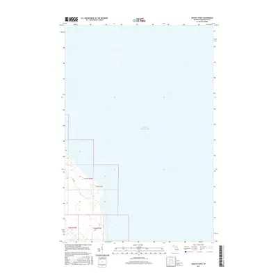
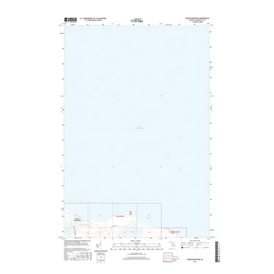
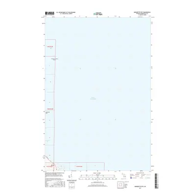
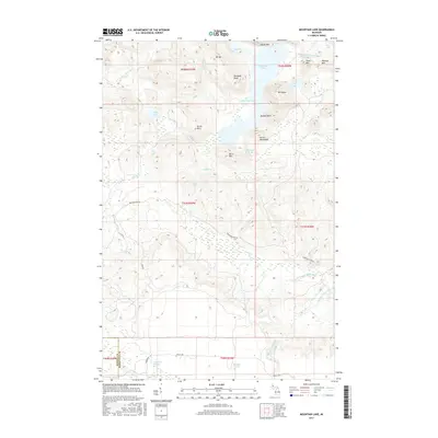
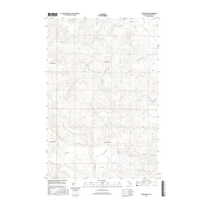
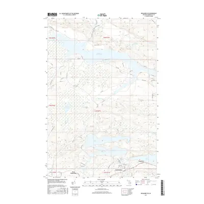
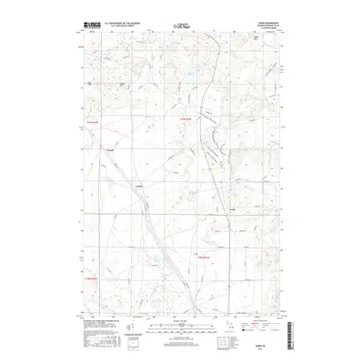
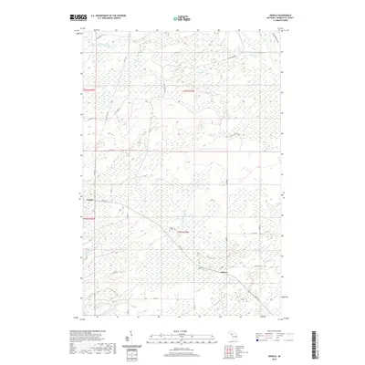
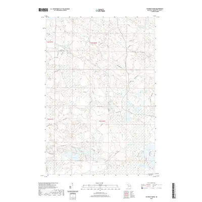
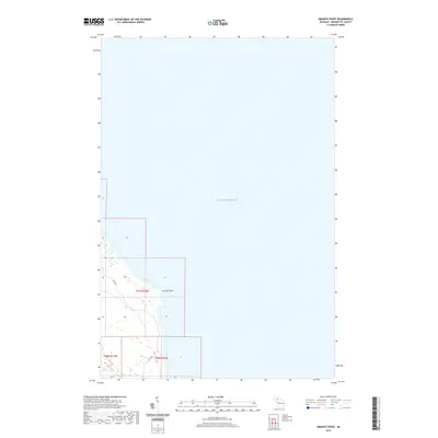
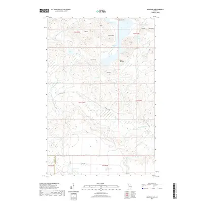
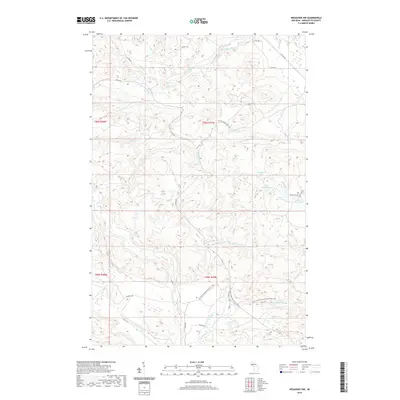
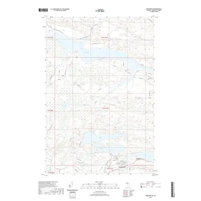
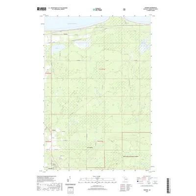
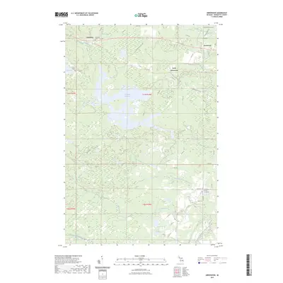
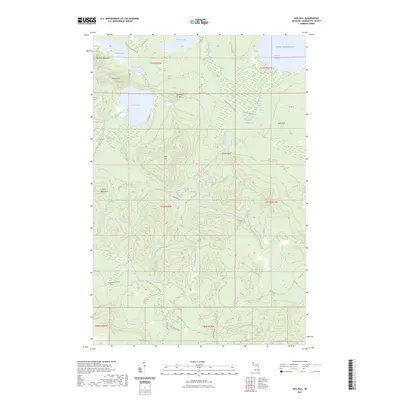
1951 Map of Helena
USGS Topo · Published 1951About this map
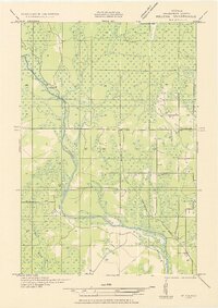
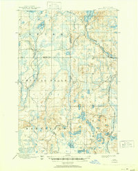
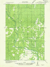
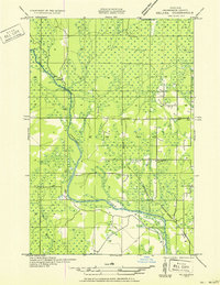
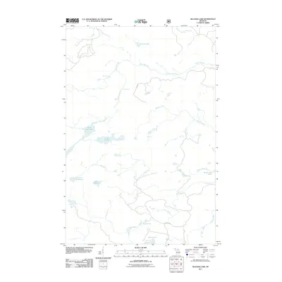
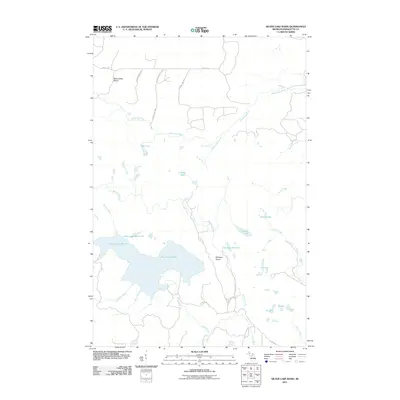
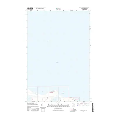
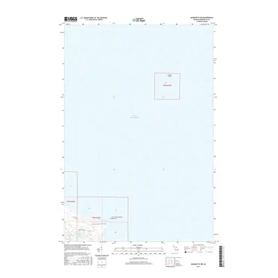
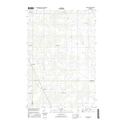
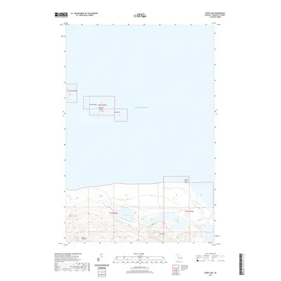
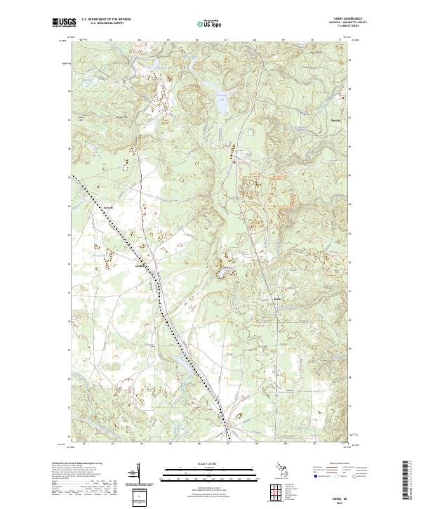
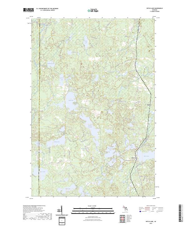
The Escanaba River winds through this section of Marquette County, defining a landscape largely shaped by early 20th-century logging and rural development. Compiled from 1930s aerial photography, the map reveals a sparsely settled region anchored by community infrastructure like the Town Hall and multiple local schoolhouses, including Ewing Sch and Ewing Sch No 1. The southern reaches are served by the Lincoln Sch, while the northern wetlands are dotted with seasonal or logging outposts such as Finn Camp and Sherkeys Camp.
Find a feature on this map
13 named features on this map. Tap any name to fly to it.
Don’t see what you’re looking for? This feature index may not catch every label — zoom into the map to look around manually.
Map Details
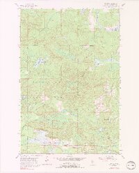
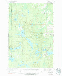
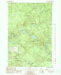
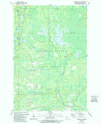
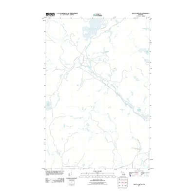
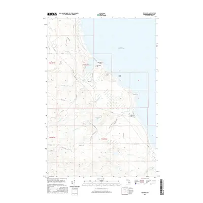
Editions of this 1951 Helena Map
2 editions found
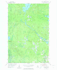
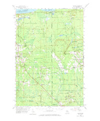
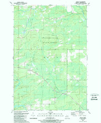
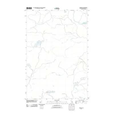
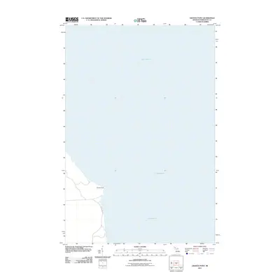
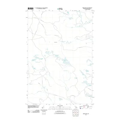
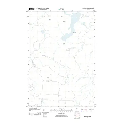
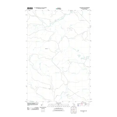
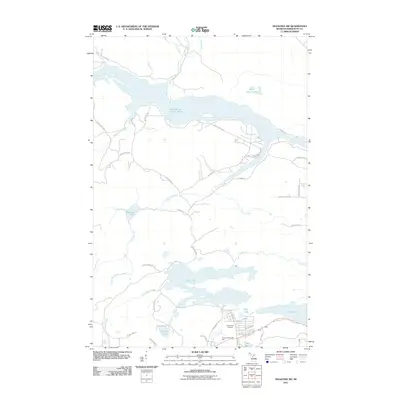
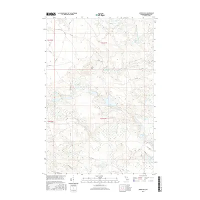
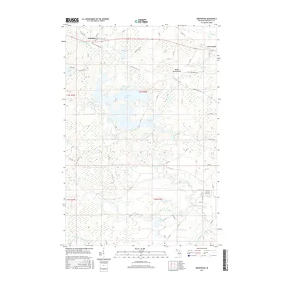
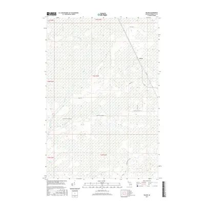
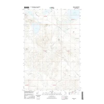
Historical Maps of Ewing Township Through Time
220 maps found
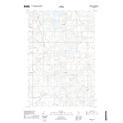
1899 Witbeck
Marquette County, MI

1932 Harvey NE
Marquette County, MI

1932 Harvey NW
Marquette County, MI

1932 Harvey SE
Marquette County, MI

1932 Harvey SW
Marquette County, MI

1932 Helena NE
Marquette County, MI

1932 Helena NW
Marquette County, MI
1932 Helena SE
Marquette County, MI

1932 Helena SW
Marquette County, MI

1932 Rock NW
Marquette County, MI

1932 Skandia SW
Marquette County, MI

1950 Skandia NW
Marquette County, MI

1951 Helena NE
Marquette County, MI

1951 Helena NW
Marquette County, MI
1951 Helena SE
Marquette County, MI

1951 Helena SW
Marquette County, MI
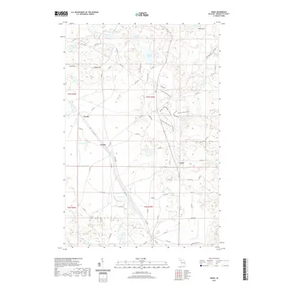
1952 Sands
Marquette County, MI
1953 Marquette NW
Marquette County, MI
1954 Huron Mountain
Marquette County, MI
1954 Negaunee SW
Marquette County, MI
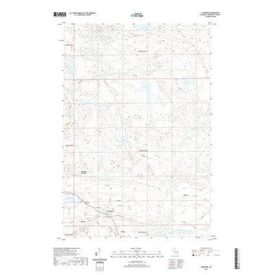
1955 Champion
Marquette County, MI
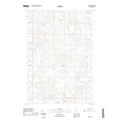
1955 Diorite
Marquette County, MI
1955 Greenwood
Marquette County, MI
1955 Republic SW
Marquette County, MI
1955 Witch Lake
Marquette County, MI
1955 Witch Lake
Marquette County, MI
1955 Witch Lake NE
Marquette County, MI
1958 Skandia
Marquette County, MI

1963 Watson
Marquette County, MI

1984 Howe Lake
Marquette County, MI

1984 Ives Hill
Marquette County, MI

1985 Buckroe
Marquette County, MI

1985 Bulldog Lake
Marquette County, MI

1985 Carlshend
Marquette County, MI

1985 Granite Point
Marquette County, MI

1985 Huron Mountain
Marquette County, MI

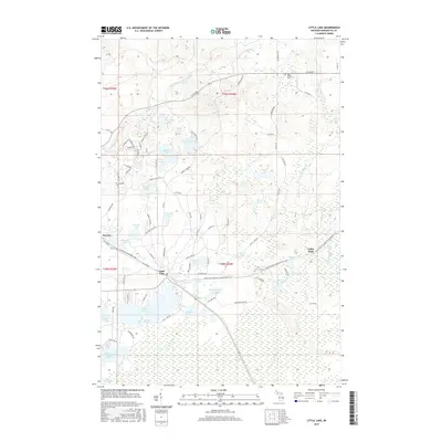
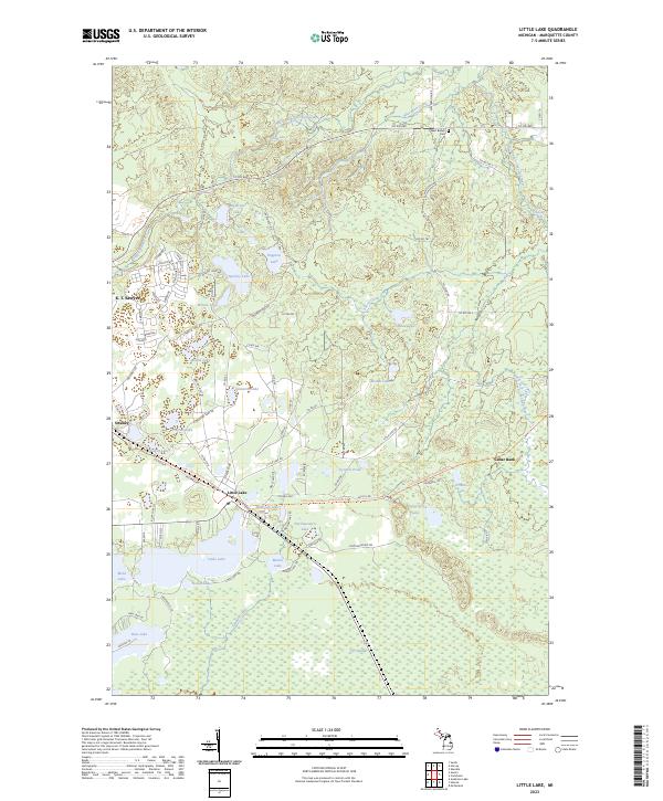
1985 Little Lake
Marquette County, MI

1985 McFarland
Marquette County, MI

1985 Mountain Lake
Marquette County, MI

1985 Negaunee NW
Marquette County, MI

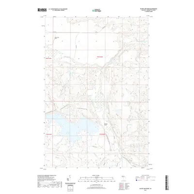
1985 Silver Lake Basin
Marquette County, MI

1985 Skandia
Marquette County, MI

1986 Cataract Basin
Marquette County, MI
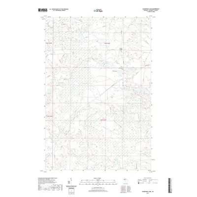
1986 Chabeneau Lake
Marquette County, MI
1986 Green Hills
Marquette County, MI

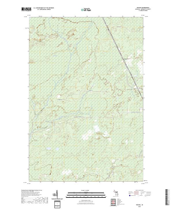
1986 Helena
Marquette County, MI

1986 Northland
Marquette County, MI

1986 Northland NE
Marquette County, MI
1989 Anderson Lake
Marquette County, MI
1989 Arnold
Marquette County, MI

1989 Helena
Marquette County, MI
1989 Swimming Hole Creek
Marquette County, MI

1996 Negaunee NW
Marquette County, MI

1996 Silver Lake Basin
Marquette County, MI

1999 Bulldog Lake
Marquette County, MI
2011 Anderson Lake
Marquette County, MI
2011 Arnold
Marquette County, MI
2011 Buckroe
Marquette County, MI
2011 Bulldog Lake
Marquette County, MI
2011 Carlshend
Marquette County, MI
2011 Cataract Basin
Marquette County, MI
2011 Chabeneau Lake
Marquette County, MI
2011 Champion
Marquette County, MI
2011 Diorite
Marquette County, MI
2011 Granite Point
Marquette County, MI
2011 Green Hills
Marquette County, MI
2011 Greenwood
Marquette County, MI
2011 Helena
Marquette County, MI
2011 Howe Lake
Marquette County, MI
2011 Huron Mountain
Marquette County, MI
2011 Ives Hill
Marquette County, MI
2011 Little Lake
Marquette County, MI
2011 Marquette NW
Marquette County, MI
2011 Marquette OE E
Marquette County, MI
2011 McFarland
Marquette County, MI
2011 Mountain Lake
Marquette County, MI
2011 Negaunee NW
Marquette County, MI
2011 Negaunee SW
Marquette County, MI
2011 Northland
Marquette County, MI
2011 Northland NE
Marquette County, MI
2011 Republic SW
Marquette County, MI
2011 Sands
Marquette County, MI
2011 Shot Point
Marquette County, MI
2011 Silver Lake Basin
Marquette County, MI
2011 Skandia
Marquette County, MI
2011 Swimming Hole Creek
Marquette County, MI
2011 Witch Lake
Marquette County, MI
2011 Witch Lake NE
Marquette County, MI
2014 Anderson Lake
Marquette County, MI
2014 Arnold
Marquette County, MI
2014 Buckroe
Marquette County, MI
2014 Bulldog Lake
Marquette County, MI
2014 Carlshend
Marquette County, MI
2014 Cataract Basin
Marquette County, MI
2014 Chabeneau Lake
Marquette County, MI
2014 Champion
Marquette County, MI
2014 Diorite
Marquette County, MI
2014 Granite Point
Marquette County, MI
2014 Green Hills
Marquette County, MI
2014 Greenwood
Marquette County, MI
2014 Helena
Marquette County, MI
2014 Howe Lake
Marquette County, MI
2014 Huron Mountain
Marquette County, MI
2014 Ives Hill
Marquette County, MI
2014 Little Lake
Marquette County, MI
2014 Marquette NW
Marquette County, MI
2014 Marquette OE E
Marquette County, MI
2014 McFarland
Marquette County, MI
2014 Mountain Lake
Marquette County, MI
2014 Negaunee NW
Marquette County, MI
2014 Negaunee SW
Marquette County, MI
2014 Northland
Marquette County, MI
2014 Northland NE
Marquette County, MI
2014 Republic SW
Marquette County, MI
2014 Sands
Marquette County, MI
2014 Shot Point
Marquette County, MI
2014 Silver Lake Basin
Marquette County, MI
2014 Skandia
Marquette County, MI
2014 Swimming Hole Creek
Marquette County, MI
2014 Witch Lake
Marquette County, MI
2014 Witch Lake NE
Marquette County, MI
2017 Anderson Lake
Marquette County, MI
2017 Arnold
Marquette County, MI
2017 Buckroe
Marquette County, MI
2017 Bulldog Lake
Marquette County, MI
2017 Carlshend
Marquette County, MI
2017 Cataract Basin
Marquette County, MI
2017 Chabeneau Lake
Marquette County, MI
2017 Champion
Marquette County, MI
2017 Diorite
Marquette County, MI
2017 Granite Point
Marquette County, MI
2017 Green Hills
Marquette County, MI
2017 Greenwood
Marquette County, MI
2017 Helena
Marquette County, MI

2017 Howe Lake
Marquette County, MI
2017 Huron Mountain
Marquette County, MI
2017 Ives Hill
Marquette County, MI
2017 Little Lake
Marquette County, MI
2017 Marquette NW
Marquette County, MI
2017 Marquette OE E
Marquette County, MI
2017 McFarland
Marquette County, MI
2017 Mountain Lake
Marquette County, MI
2017 Negaunee NW
Marquette County, MI
2017 Negaunee SW
Marquette County, MI
2017 Northland
Marquette County, MI
2017 Northland NE
Marquette County, MI
2017 Republic SW
Marquette County, MI
2017 Sands
Marquette County, MI
2017 Shot Point
Marquette County, MI
2017 Silver Lake Basin
Marquette County, MI
2017 Skandia
Marquette County, MI
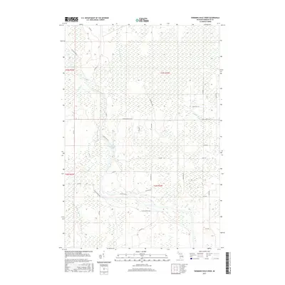
2017 Swimming Hole Creek
Marquette County, MI
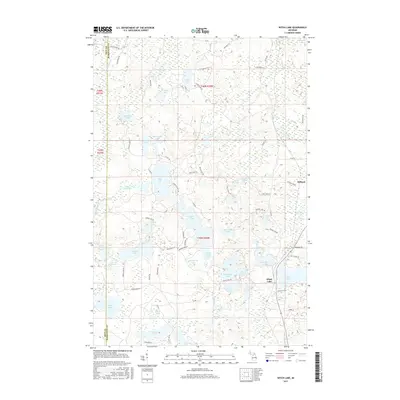
2017 Witch Lake
Marquette County, MI
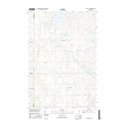
2017 Witch Lake NE
Marquette County, MI
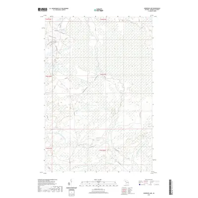
2019 Anderson Lake
Marquette County, MI
2019 Arnold
Marquette County, MI
2019 Buckroe
Marquette County, MI
2019 Bulldog Lake
Marquette County, MI
2019 Carlshend
Marquette County, MI
2019 Cataract Basin
Marquette County, MI
2019 Chabeneau Lake
Marquette County, MI
2019 Champion
Marquette County, MI
2019 Diorite
Marquette County, MI
2019 Granite Point
Marquette County, MI
2019 Green Hills
Marquette County, MI
2019 Greenwood
Marquette County, MI
2019 Helena
Marquette County, MI
2019 Howe Lake
Marquette County, MI
2019 Huron Mountain
Marquette County, MI
2019 Ives Hill
Marquette County, MI
2019 Little Lake
Marquette County, MI
2019 Marquette NW
Marquette County, MI
2019 Marquette OE E
Marquette County, MI
2019 McFarland
Marquette County, MI
2019 Mountain Lake
Marquette County, MI
2019 Negaunee NW
Marquette County, MI
2019 Negaunee SW
Marquette County, MI
2019 Northland
Marquette County, MI
2019 Northland NE
Marquette County, MI
2019 Republic SW
Marquette County, MI
2019 Sands
Marquette County, MI
2019 Shot Point
Marquette County, MI
2019 Silver Lake Basin
Marquette County, MI
2019 Skandia
Marquette County, MI
2019 Swimming Hole Creek
Marquette County, MI
2019 Witch Lake
Marquette County, MI
2019 Witch Lake NE
Marquette County, MI

2023 Anderson Lake
Marquette County, MI

2023 Arnold
Marquette County, MI

2023 Buckroe
Marquette County, MI
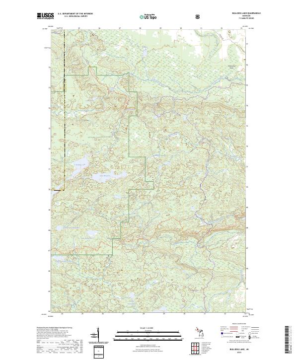
2023 Bulldog Lake
Marquette County, MI
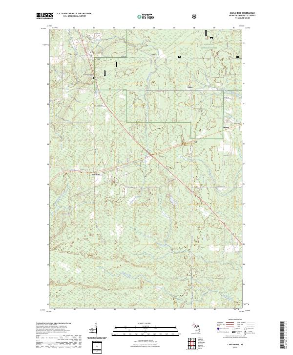
2023 Carlshend
Marquette County, MI
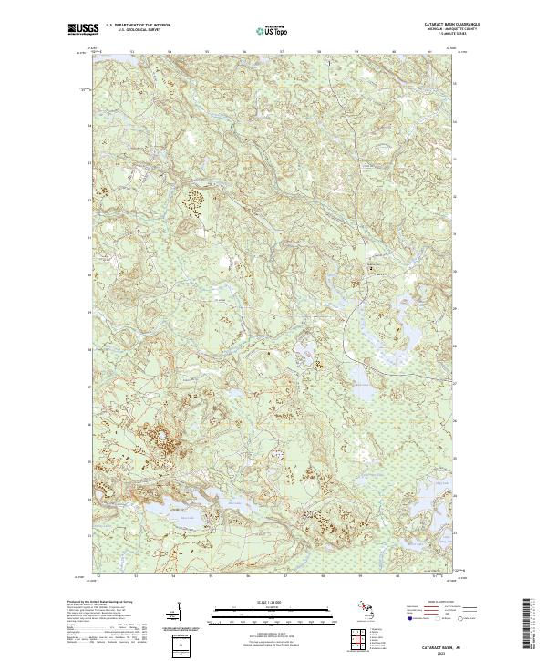
2023 Cataract Basin
Marquette County, MI
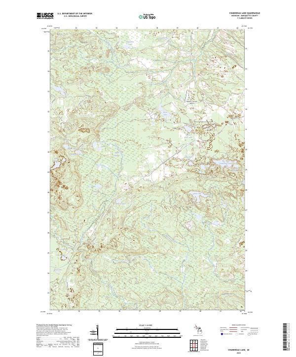
2023 Chabeneau Lake
Marquette County, MI
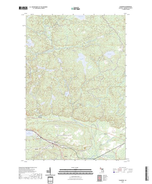
2023 Champion
Marquette County, MI
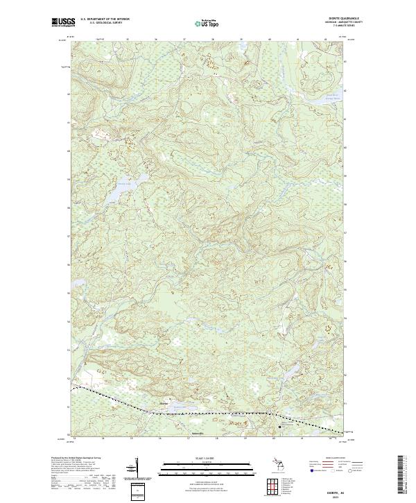
2023 Diorite
Marquette County, MI
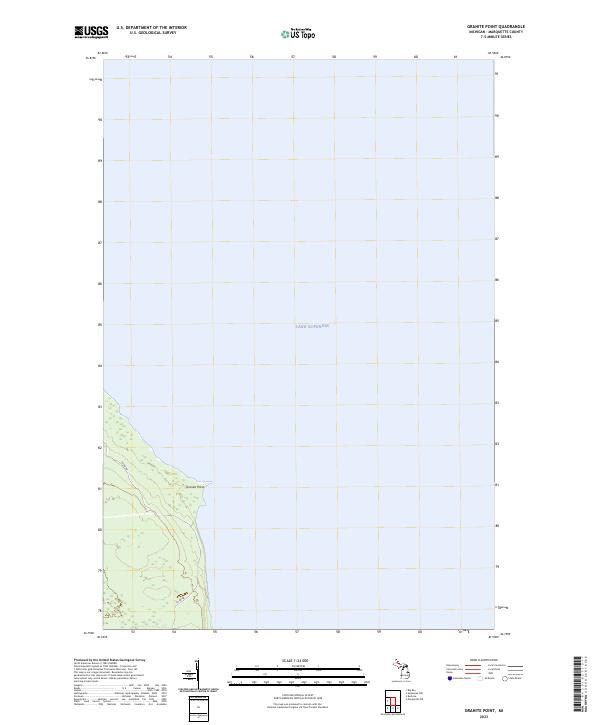
2023 Granite Point
Marquette County, MI
2023 Green Hills
Marquette County, MI
2023 Greenwood
Marquette County, MI
2023 Helena
Marquette County, MI
2023 Howe Lake
Marquette County, MI
2023 Huron Mountain
Marquette County, MI
2023 Ives Hill
Marquette County, MI
2023 Little Lake
Marquette County, MI
2023 Marquette NW
Marquette County, MI
2023 Marquette OE E
Marquette County, MI

2023 McFarland
Marquette County, MI

2023 Mountain Lake
Marquette County, MI
2023 Negaunee NW
Marquette County, MI
2023 Negaunee SW
Marquette County, MI

2023 Northland
Marquette County, MI

2023 Northland NE
Marquette County, MI
2023 Republic SW
Marquette County, MI
2023 Sands
Marquette County, MI
2023 Shot Point
Marquette County, MI
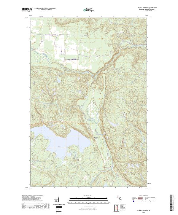
2023 Silver Lake Basin
Marquette County, MI
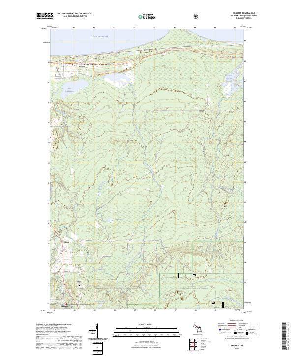
2023 Skandia
Marquette County, MI
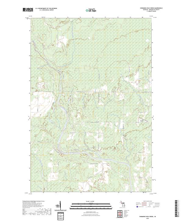
2023 Swimming Hole Creek
Marquette County, MI
2023 Witch Lake
Marquette County, MI
2023 Witch Lake NE
Marquette County, MI