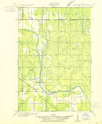
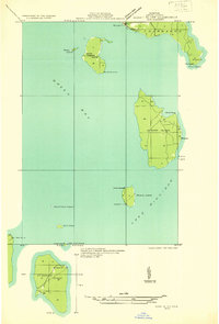
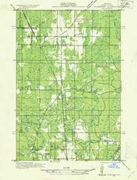
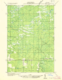
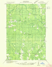
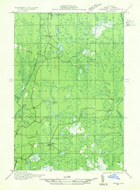
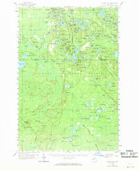
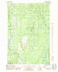
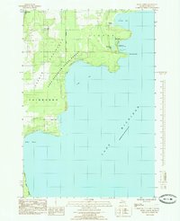
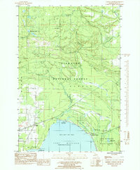
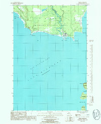
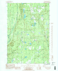
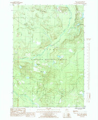
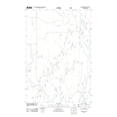
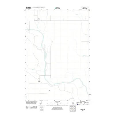
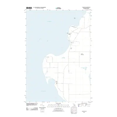
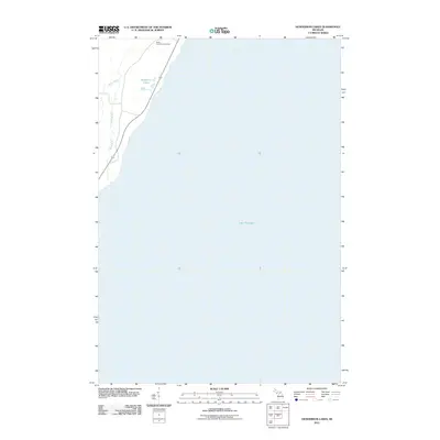
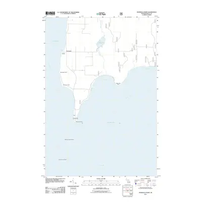
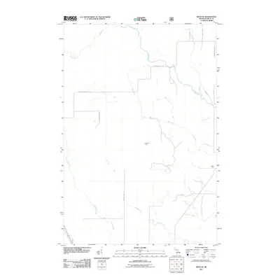
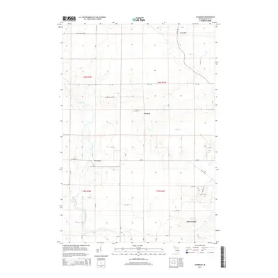
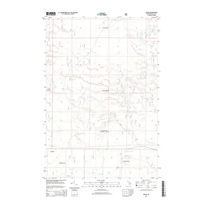
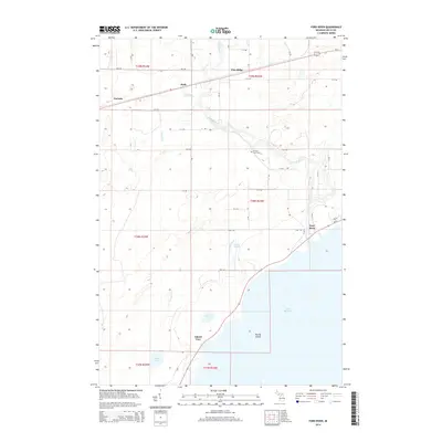
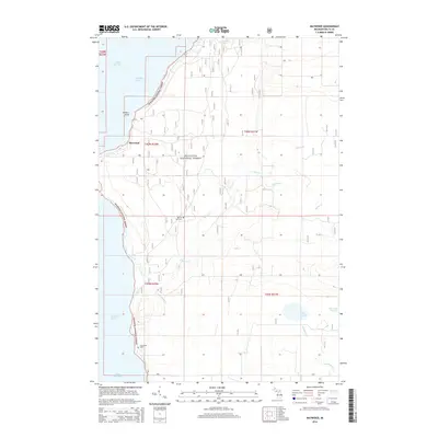
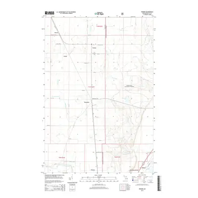
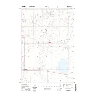
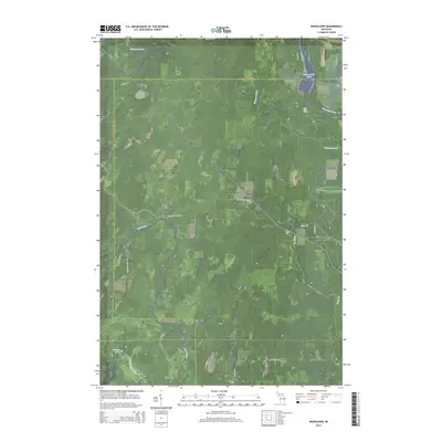
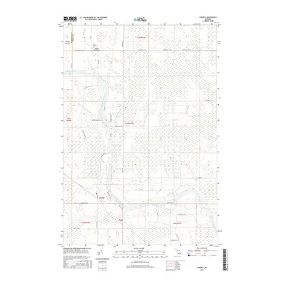
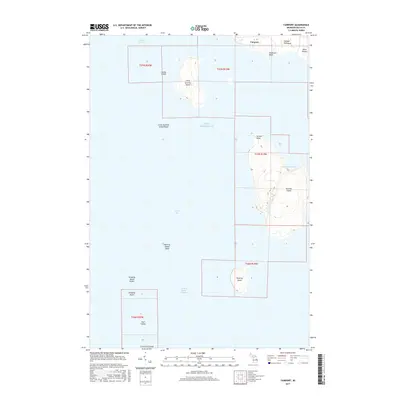
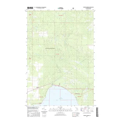
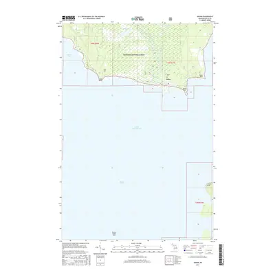
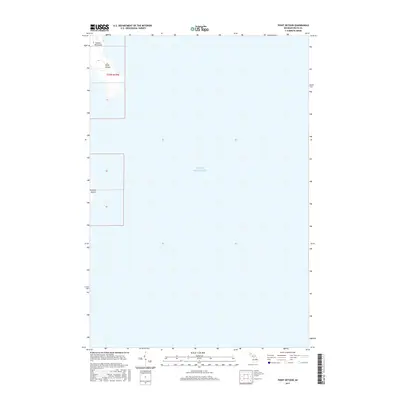
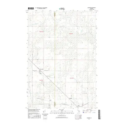
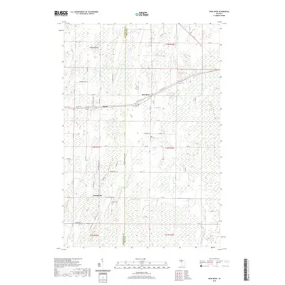
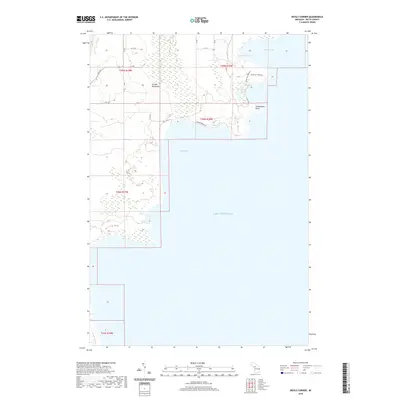
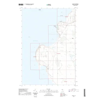
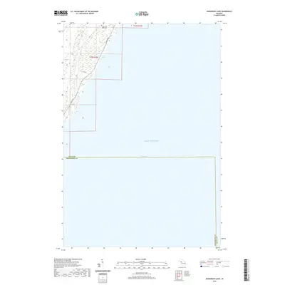
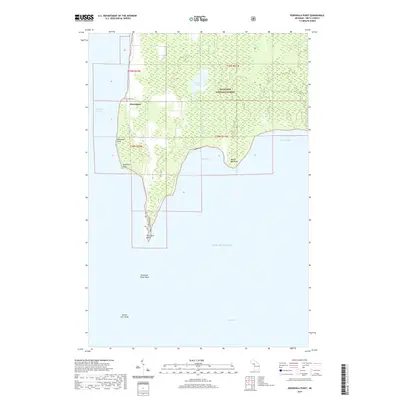
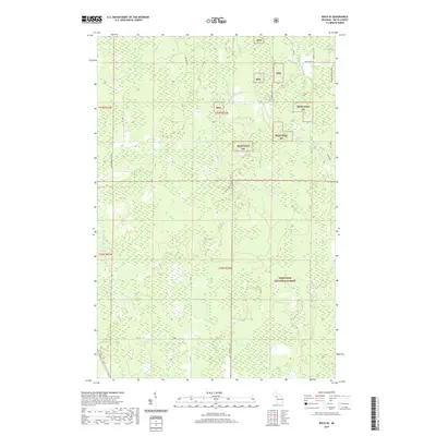
1950 Map of Gladstone NW
USGS Topo · Published 1950About this map
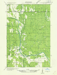
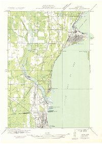
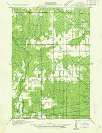
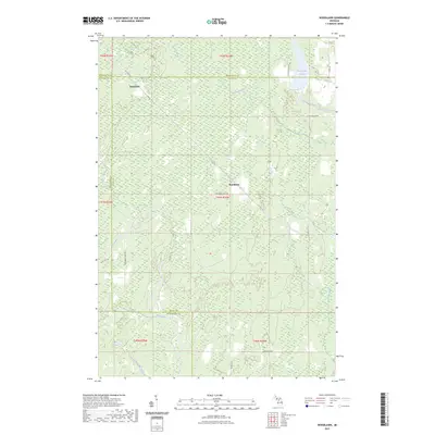
The Escanaba River anchors this landscape, winding through the boundary regions of Marquette and Delta Counties. Based on field examinations from 1932, this map depicts a territory largely dedicated to the State Forest Reserve, where logging history is preserved in names like Larsons Camp. The transportation network centers on the Chicago and Northwestern (Beaver Br) railroad and the Cornell Bridge, which connects the small settlement of Cornell to the surrounding timberlands.
Find a feature on this map
24 named features on this map. Tap any name to fly to it.
Don’t see what you’re looking for? This feature index may not catch every label — zoom into the map to look around manually.
Map Details
Editions of this 1950 Gladstone NW Map
This is the sole edition of this map. No revisions or reprints were ever made.
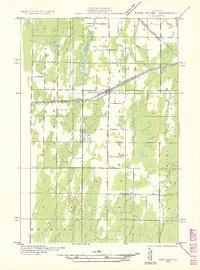
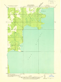
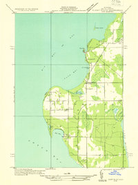
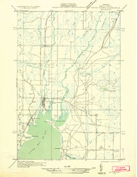
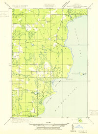
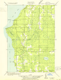
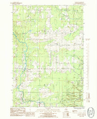
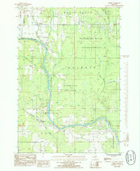
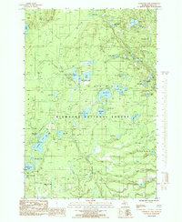
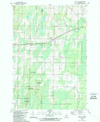
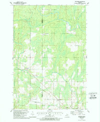
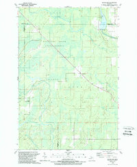
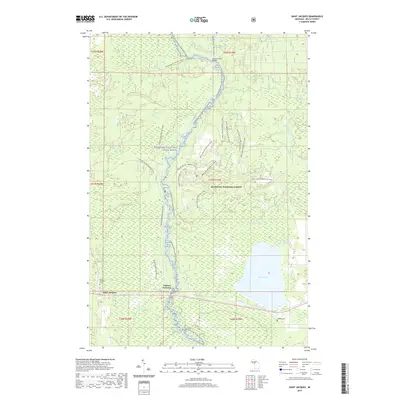
Historical Maps of Cornell Through Time
187 maps found
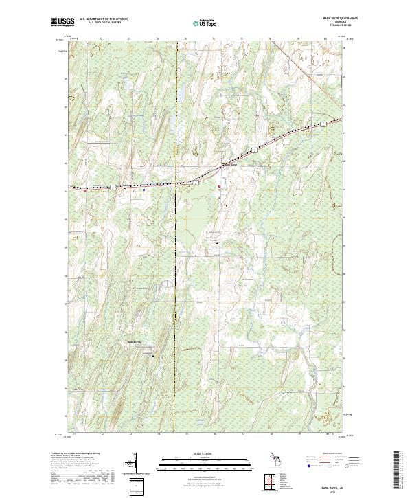
1932 Bark River NE
Delta County, MI
1932 Burnt Bluff NE
Delta County, MI
1932 Burnt Bluff NW
Delta County, MI
1932 Burnt Bluff SW
Delta County, MI
1932 Garden NE
Delta County, MI
1932 Garden NW and SW
Delta County, MI
1932 Garden SE
Delta County, MI
1932 Gladstone NE
Delta County, MI
1932 Gladstone NW
Delta County, MI
1932 Gladstone SE
Delta County, MI
1932 Gladstone SW
Delta County, MI
1932 Rapid River NE
Delta County, MI
1932 Rapid River NW
Delta County, MI
1932 Rapid River SE
Delta County, MI
1932 Rapid River SW
Delta County, MI
1932 Rock SE
Delta County, MI
1932 Rock SW
Delta County, MI
1932 Skeels Lake NW and SW
Delta County, MI
1932 Skeels Lake SE
Delta County, MI
1932 Trenary SE
Delta County, MI
1932 Trenary SW
Delta County, MI
1932 Whitney NE
Delta County, MI
1932 Whitney SE
Delta County, MI
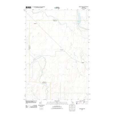
1950 Gladstone NW
Delta County, MI
1958 Corner Lake
Delta County, MI
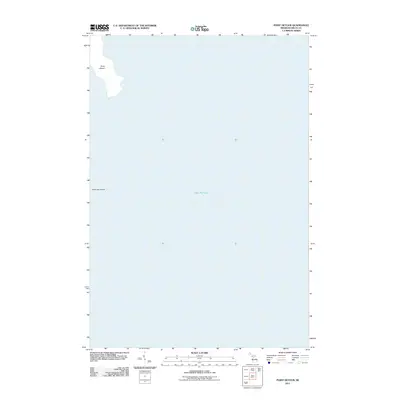
1958 Fairport
Delta County, MI
1958 Peninsula Point
Delta County, MI
1958 Trenary
Delta County, MI
1985 Baker Creek
Delta County, MI
1985 Chandler
Delta County, MI
1985 Chippewa Point
Delta County, MI
1985 Cornell
Delta County, MI
1985 Devils Corner
Delta County, MI

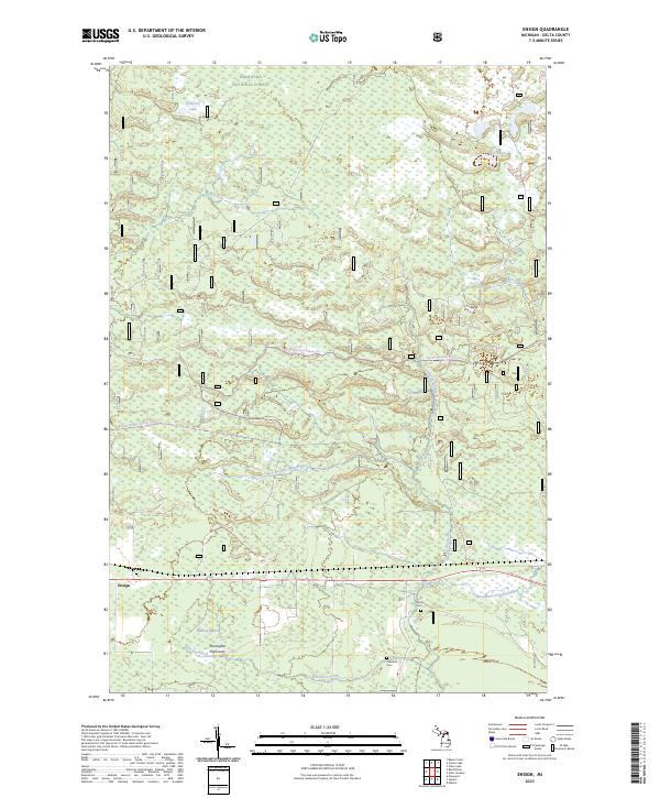
1985 Ensign
Delta County, MI
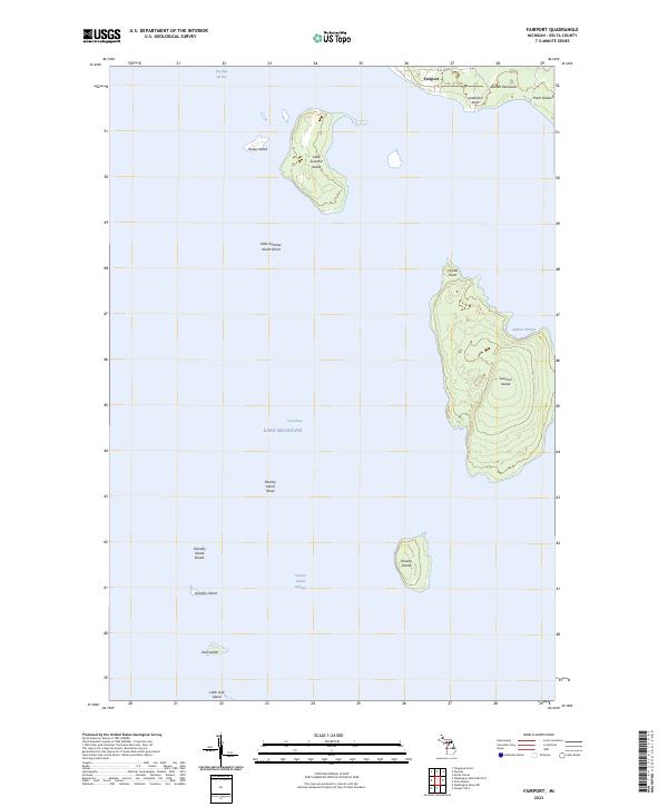
1985 Fairport
Delta County, MI
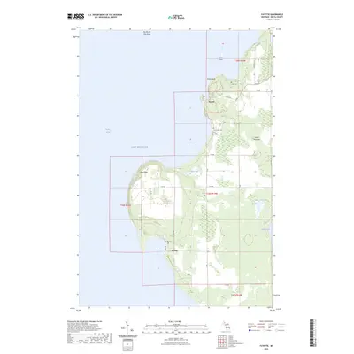
1985 Fayette
Delta County, MI
1985 Ford River
Delta County, MI
1985 Garden Corners
Delta County, MI
1985 Gooseneck Lake
Delta County, MI
1985 Henderson Lakes
Delta County, MI
1985 Maywood
Delta County, MI
1985 Nahma
Delta County, MI
1985 Ogontz
Delta County, MI
1985 Peninsula Point
Delta County, MI
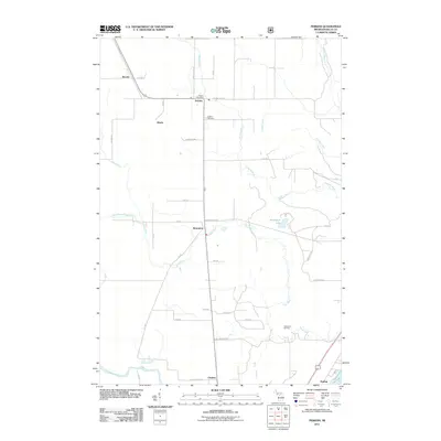
1985 Perkins
Delta County, MI
1985 Point Detour
Delta County, MI
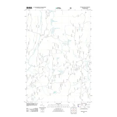
1985 Poplar Lake
Delta County, MI
1985 Rock SE
Delta County, MI
1985 St. Jacques
Delta County, MI
1985 Waco Lake
Delta County, MI
1989 Bark River
Delta County, MI
1989 Schaffer
Delta County, MI
1989 Woodlawn
Delta County, MI
2011 Baker Creek
Delta County, MI
2011 Bark River
Delta County, MI
2011 Chandler
Delta County, MI
2011 Chippewa Point
Delta County, MI
2011 Cornell
Delta County, MI
2011 Devils Corner
Delta County, MI
2011 Ensign
Delta County, MI
2011 Fairport
Delta County, MI
2011 Fayette
Delta County, MI
2011 Ford River
Delta County, MI
2011 Garden Corners
Delta County, MI
2011 Gooseneck Lake
Delta County, MI
2011 Henderson Lakes
Delta County, MI
2011 Maywood
Delta County, MI
2011 Nahma
Delta County, MI
2011 Ogontz
Delta County, MI
2011 Peninsula Point
Delta County, MI
2011 Perkins
Delta County, MI
2011 Point Detour
Delta County, MI
2011 Poplar Lake
Delta County, MI
2011 Rock SE
Delta County, MI
2011 Saint Jacques
Delta County, MI
2011 Schaffer
Delta County, MI
2011 Waco Lake
Delta County, MI
2011 Washington Island NE OE N
Delta County, MI
2011 Woodlawn
Delta County, MI
2014 Baker Creek
Delta County, MI
2014 Bark River
Delta County, MI
2014 Chandler
Delta County, MI
2014 Chippewa Point
Delta County, MI
2014 Cornell
Delta County, MI
2014 Devils Corner
Delta County, MI
2014 Ensign
Delta County, MI
2014 Fairport
Delta County, MI
2014 Fairport OE S
Delta County, MI
2014 Fayette
Delta County, MI
2014 Ford River
Delta County, MI
2014 Garden Corners
Delta County, MI
2014 Gooseneck Lake
Delta County, MI
2014 Henderson Lakes
Delta County, MI
2014 Maywood
Delta County, MI
2014 Nahma
Delta County, MI
2014 Ogontz
Delta County, MI
2014 Peninsula Point
Delta County, MI
2014 Perkins
Delta County, MI
2014 Point Detour
Delta County, MI
2014 Poplar Lake
Delta County, MI
2014 Rock SE
Delta County, MI
2014 Saint Jacques
Delta County, MI
2014 Schaffer
Delta County, MI
2014 Waco Lake
Delta County, MI
2014 Washington Island NE OE N
Delta County, MI
2014 Woodlawn
Delta County, MI
2017 Baker Creek
Delta County, MI
2017 Bark River
Delta County, MI
2017 Chandler
Delta County, MI
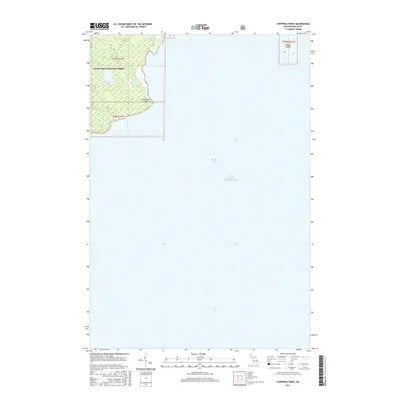
2017 Chippewa Point
Delta County, MI
2017 Cornell
Delta County, MI
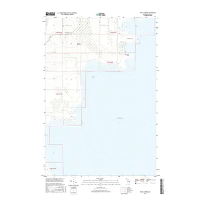
2017 Devils Corner
Delta County, MI
2017 Ensign
Delta County, MI
2017 Fairport
Delta County, MI
2017 Fairport OE S
Delta County, MI
2017 Fayette
Delta County, MI
2017 Ford River
Delta County, MI
2017 Garden Corners
Delta County, MI
2017 Gooseneck Lake
Delta County, MI
2017 Henderson Lakes
Delta County, MI
2017 Maywood
Delta County, MI
2017 Nahma
Delta County, MI
2017 Ogontz
Delta County, MI
2017 Peninsula Point
Delta County, MI
2017 Perkins
Delta County, MI
2017 Point Detour
Delta County, MI
2017 Poplar Lake
Delta County, MI
2017 Rock SE
Delta County, MI
2017 Saint Jacques
Delta County, MI
2017 Schaffer
Delta County, MI

2017 Waco Lake
Delta County, MI
2017 Washington Island NE OE N
Delta County, MI
2017 Woodlawn
Delta County, MI
2019 Baker Creek
Delta County, MI
2019 Bark River
Delta County, MI
2019 Chandler
Delta County, MI
2019 Chippewa Point
Delta County, MI
2019 Cornell
Delta County, MI
2019 Devils Corner
Delta County, MI
2019 Ensign
Delta County, MI
2019 Fairport
Delta County, MI
2019 Fairport OE S
Delta County, MI
2019 Fayette
Delta County, MI
2019 Ford River
Delta County, MI
2019 Garden Corners
Delta County, MI
2019 Gooseneck Lake
Delta County, MI
2019 Henderson Lakes
Delta County, MI
2019 Maywood
Delta County, MI
2019 Nahma
Delta County, MI
2019 Ogontz
Delta County, MI
2019 Peninsula Point
Delta County, MI
2019 Perkins
Delta County, MI
2019 Point Detour
Delta County, MI
2019 Poplar Lake
Delta County, MI
2019 Rock SE
Delta County, MI
2019 Saint Jacques
Delta County, MI
2019 Schaffer
Delta County, MI
2019 Waco Lake
Delta County, MI
2019 Washington Island NE OE N
Delta County, MI
2019 Woodlawn
Delta County, MI
2023 Baker Creek
Delta County, MI
2023 Bark River
Delta County, MI
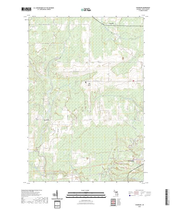
2023 Chandler
Delta County, MI
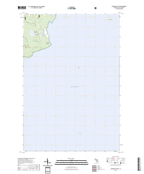
2023 Chippewa Point
Delta County, MI
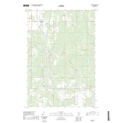
2023 Cornell
Delta County, MI
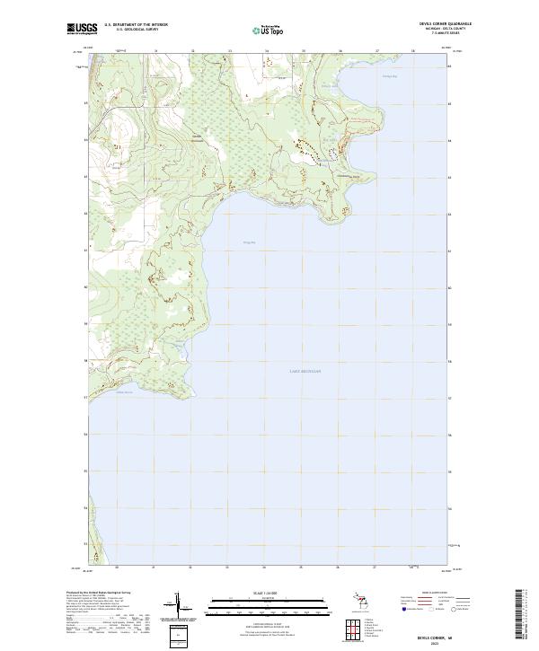
2023 Devils Corner
Delta County, MI
2023 Ensign
Delta County, MI
2023 Fairport
Delta County, MI
2023 Fairport OE S
Delta County, MI
2023 Fayette
Delta County, MI
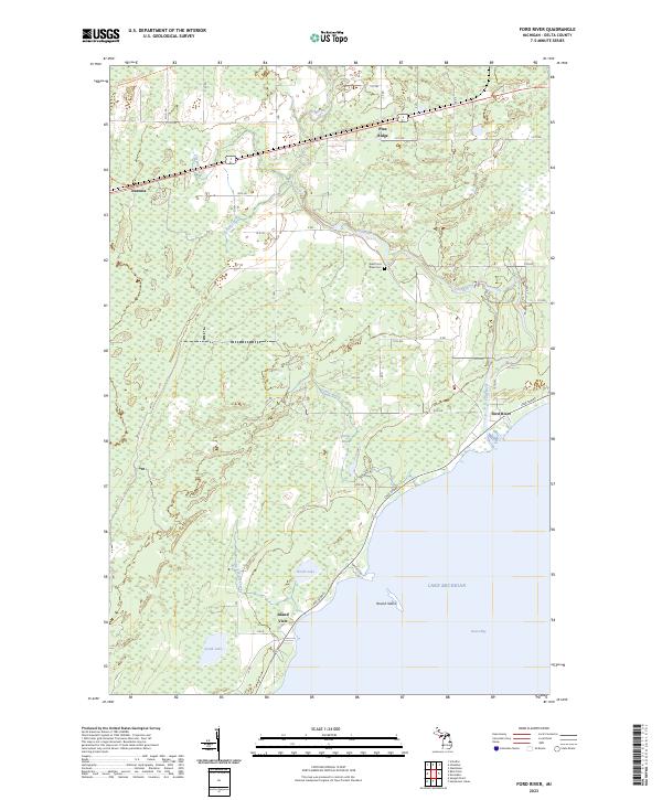
2023 Ford River
Delta County, MI
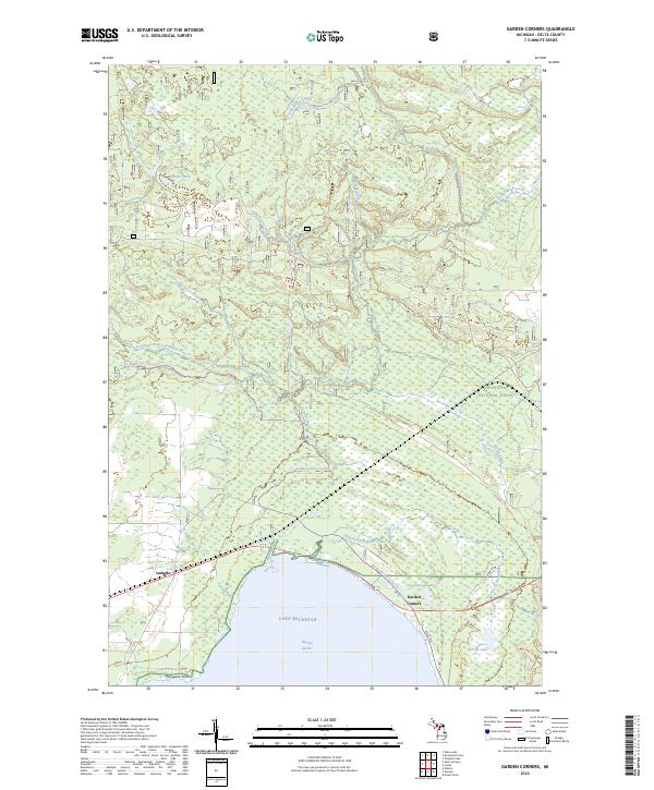
2023 Garden Corners
Delta County, MI
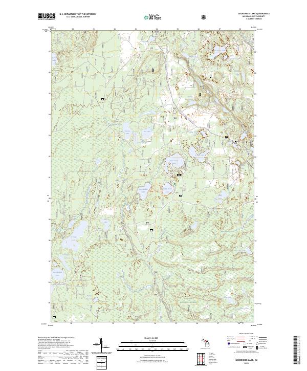
2023 Gooseneck Lake
Delta County, MI
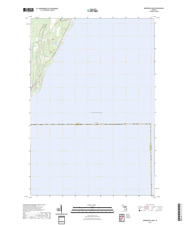
2023 Henderson Lakes
Delta County, MI
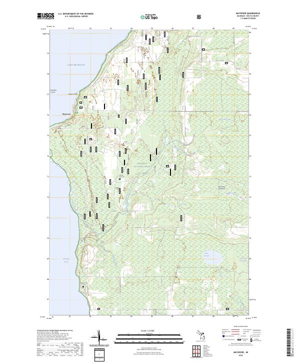
2023 Maywood
Delta County, MI
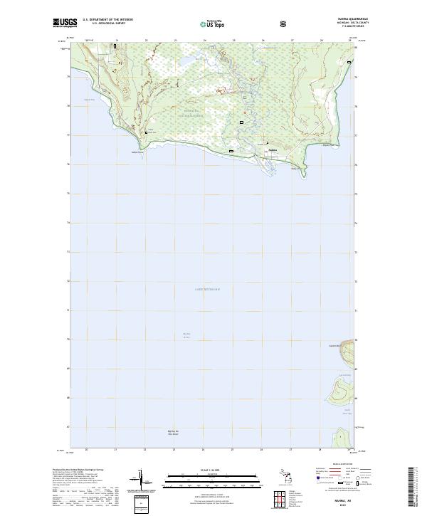
2023 Nahma
Delta County, MI
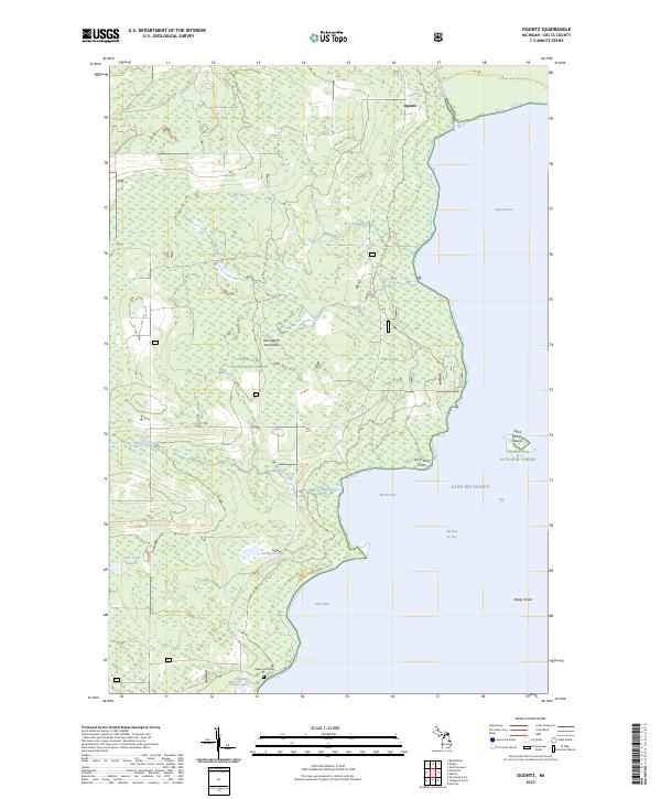
2023 Ogontz
Delta County, MI
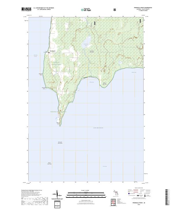
2023 Peninsula Point
Delta County, MI
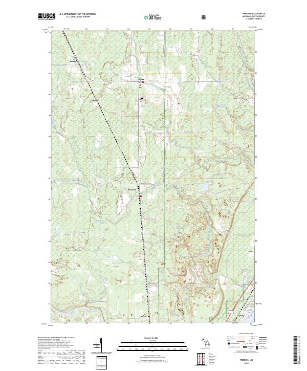
2023 Perkins
Delta County, MI
2023 Point Detour
Delta County, MI
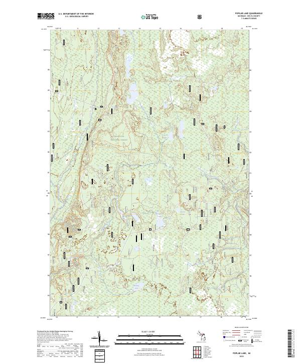
2023 Poplar Lake
Delta County, MI
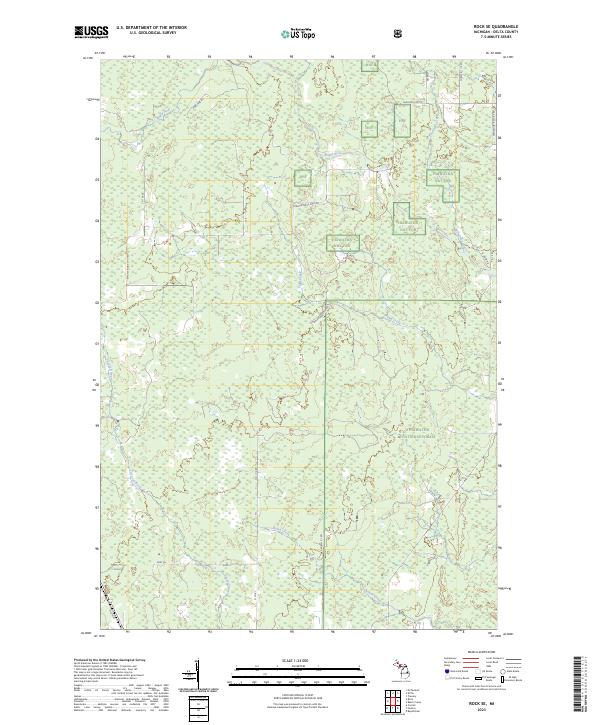
2023 Rock SE
Delta County, MI
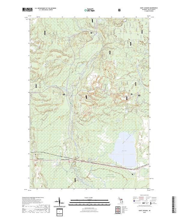
2023 Saint Jacques
Delta County, MI
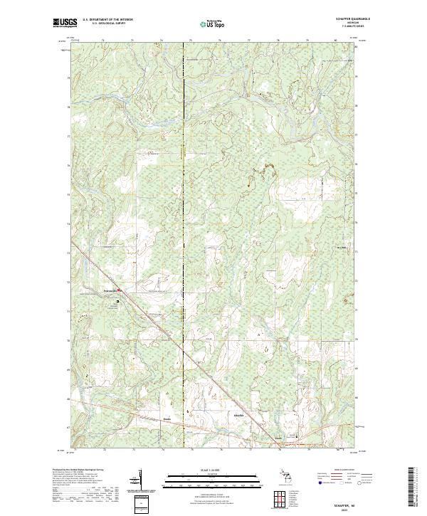
2023 Schaffer
Delta County, MI
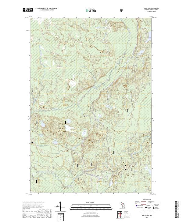
2023 Waco Lake
Delta County, MI
2023 Washington Island NE OE N
Delta County, MI
2023 Woodlawn
Delta County, MI
Featured Locations
- Baldwin Township, MI
- Escanaba Township, MI
- Ewing Township, MI
- Cornell, Cornell Township
- Saint Nicholas, Maple Ridge Township