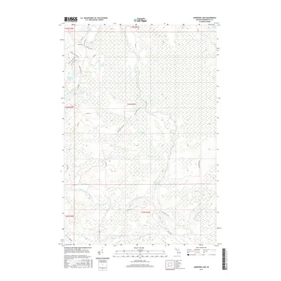
2017 Map of Anderson Lake
USGS Topo · Published 2017About this map
The West Branch Escanaba River meanders through this portion of Marquette County, defining a landscape dominated by extensive wetlands and seasonal watercourses. The river's reach is marked by the Boney Falls Basin, a significant widening of the channel that signals the area's hydroelectric history and water management. To the north, the terrain transitions into a dense network of smaller water bodies and specialized habitats, including the expansive Cyr Swamp and isolated basins like Bilsky Lake and Farquar Lake.
Find a feature on this map
42 named features on this map. Tap any name to fly to it.
Don’t see what you’re looking for? This feature index may not catch every label — zoom into the map to look around manually.
Map Details
Editions of this 2017 Anderson Lake Map
This is the sole edition of this map. No revisions or reprints were ever made.
Other maps of this area

1932 · Helena NW
USGS Topo · 1:31,680

1932 · Helena NE
USGS Topo · 1:31,680

1932 · Harvey SE
USGS Topo · 1:31,680

1932 · Harvey SW
USGS Topo · 1:31,680

1932 · Helena SW
USGS Topo · 1:31,680

1932 · Helena
USGS Topo · 1:31,680

1951 · Helena SW
USGS Topo · 1:31,680

1951 · Helena
USGS Topo · 1:31,680

1951 · Helena NE
USGS Topo · 1:31,680

1951 · Helena NW
USGS Topo · 1:31,680