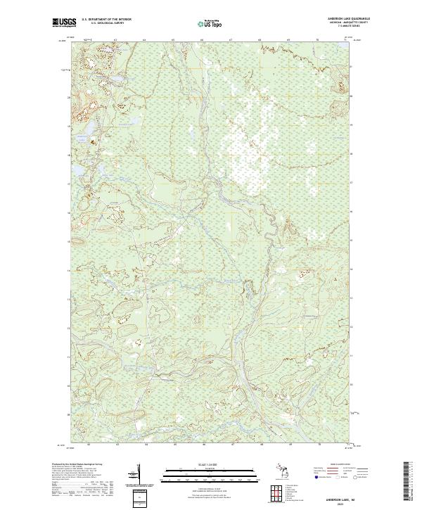
2023 Map of Anderson Lake
USGS Topo · Published 2023About this map
The Escanaba River and its multiple branches define this pocket of the Upper Peninsula, carving through a landscape dominated by extensive wetlands and isolated glacial lakes. The West Branch Escanaba River and the Little West Branch Escanaba River converge in the southern portion of the territory, while the northern reaches are marked by the sprawling Cyr Swamp. This hydrology shaped the local transport network, which consists largely of county roads and truck trails like the Bobs Creek Truck Trl and S Co Rd 557.
Find a feature on this map
37 named features on this map. Tap any name to fly to it.
Don’t see what you’re looking for? This feature index may not catch every label — zoom into the map to look around manually.
Map Details
Editions of this 2023 Anderson Lake Map
This is the sole edition of this map. No revisions or reprints were ever made.
Other maps of this area

1932 · Helena NW
USGS Topo · 1:31,680

1932 · Helena NE
USGS Topo · 1:31,680

1932 · Harvey SE
USGS Topo · 1:31,680

1932 · Harvey SW
USGS Topo · 1:31,680

1932 · Helena SW
USGS Topo · 1:31,680

1932 · Helena
USGS Topo · 1:31,680

1951 · Helena SW
USGS Topo · 1:31,680

1951 · Helena
USGS Topo · 1:31,680

1951 · Helena NE
USGS Topo · 1:31,680

1951 · Helena NW
USGS Topo · 1:31,680