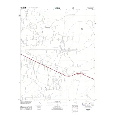
2011 Map of Angell
USGS Topo · Published 2011About this map
The Twin Arrows Trading Post stands as a primary landmark along the modern highway corridor in this Coconino County landscape, where transportation and ranching define the human imprint on the high desert. To the north, the terrain is punctuated by volcanic features like Rattlesnake Crater and Merrill Crater, reflecting the geological history of the region. The map reveals a sophisticated network of water management essential for livestock and local operations, including the Walking Cane Ranch. This infrastructure includes numerous specialized catchments such as Rabbitbrush Trick Tank, Piper Tank, and the Padre Boundry Trick Tank. Local transit is facilitated by a web of Forest Service and county roads, including Angel Rd and Co Rd 394, which connect the settlement of Angell to the surrounding range and the highway at the Twin Arrows Interchange.
Find a feature on this map
27 named features on this map. Tap any name to fly to it.
Don’t see what you’re looking for? This feature index may not catch every label — zoom into the map to look around manually.
Map Details
Editions of this 2011 Angell Map
This is the sole edition of this map. No revisions or reprints were ever made.
Other maps of this area

1886 · San Francisco Mtns
USGS Topo · 1:250,000

1891 · San Francisco Mtns
USGS Topo · 1:250,000

1894 · San Francisco Mtns
USGS Topo · 1:250,000

1899 · San Francisco Mtns
USGS Topo · 1:250,000

1947 · Flagstaff
USGS Topo · 1:250,000

1954 · Flagstaff
USGS Topo · 1:250,000

1958 · Flagstaff
USGS Topo · 1:250,000

1960 · Flagstaff
USGS Topo · 1:250,000

1962 · Flagstaff
USGS Topo · 1:250,000
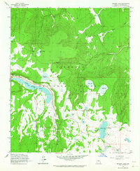
1962 · Ashurst Lake
USGS Topo · 1:24,000