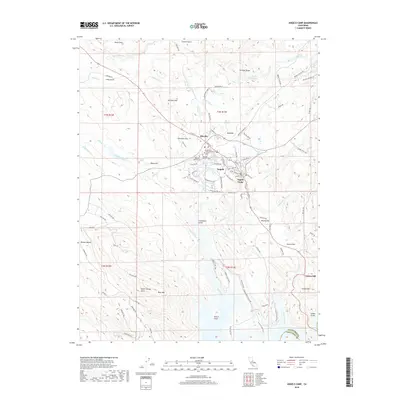
2018 Map of Angels Camp
USGS Topo · Published 2018About this map
Angels Camp and the neighboring settlement of Altaville anchor this study of the Gold Country terrain at the southern edge of Calaveras County. The landscape is defined by its deep mining and ranching heritage, evidenced by the concentration of burial sites including the Altaville Protestant Cem, Altaville Catholic Cem, Altaville Serbian Cem, and the Lode Cem. The town's literary connections are reflected in street names like Bret Harte Dr and Mark Twain Rd.
Find a feature on this map
101 named features on this map. Tap any name to fly to it.
Don’t see what you’re looking for? This feature index may not catch every label — zoom into the map to look around manually.
Map Details
Editions of this 2018 Angels Camp Map
This is the sole edition of this map. No revisions or reprints were ever made.
Other maps of this area

1889 · Jackson
USGS Topo · 1:125,000

1891 · Big Trees
USGS Topo · 1:125,000

1892 · Jackson
USGS Topo · 1:125,000

1893 · Sonora
USGS Topo · 1:125,000

1894 · Big Trees
USGS Topo · 1:125,000

1896 · Sonora
USGS Topo · 1:125,000

1897 · Jackson
USGS Topo · 1:125,000

1897 · Sonora
USGS Topo · 1:125,000

1897 · Big Trees
USGS Topo · 1:125,000

1898 · Sonora
USGS Topo · 1:125,000