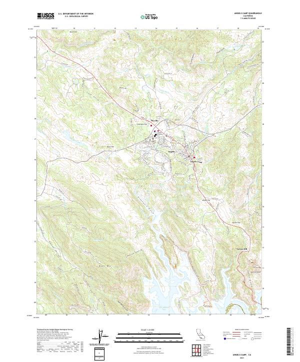
2021 Map of Angels Camp
USGS Topo · Published 2021About this map
Altaville and Angels Camp serve as the primary hubs in this modern topographic record of the California Mother Lode. The landscape is defined by its deep mining heritage, evidenced by a dense cluster of burial sites including the Altaville Serbian Cem, Altaville Catholic Cem, and the Lode Cem. These markers sit at the junction of the historic Highway 49 corridor, which connects the storied settlements of Cherokee Flat and Albany Flat before climbing toward Carson Hill.
Find a feature on this map
103 named features on this map. Tap any name to fly to it.
Don’t see what you’re looking for? This feature index may not catch every label — zoom into the map to look around manually.
Map Details
Editions of this 2021 Angels Camp Map
This is the sole edition of this map. No revisions or reprints were ever made.
Other maps of this area

1889 · Jackson
USGS Topo · 1:125,000

1891 · Big Trees
USGS Topo · 1:125,000

1892 · Jackson
USGS Topo · 1:125,000

1893 · Sonora
USGS Topo · 1:125,000

1894 · Big Trees
USGS Topo · 1:125,000

1896 · Sonora
USGS Topo · 1:125,000

1897 · Jackson
USGS Topo · 1:125,000

1897 · Sonora
USGS Topo · 1:125,000

1897 · Big Trees
USGS Topo · 1:125,000

1898 · Sonora
USGS Topo · 1:125,000