2023 Map of Annetta
USGS Topo · Published 2023About this map
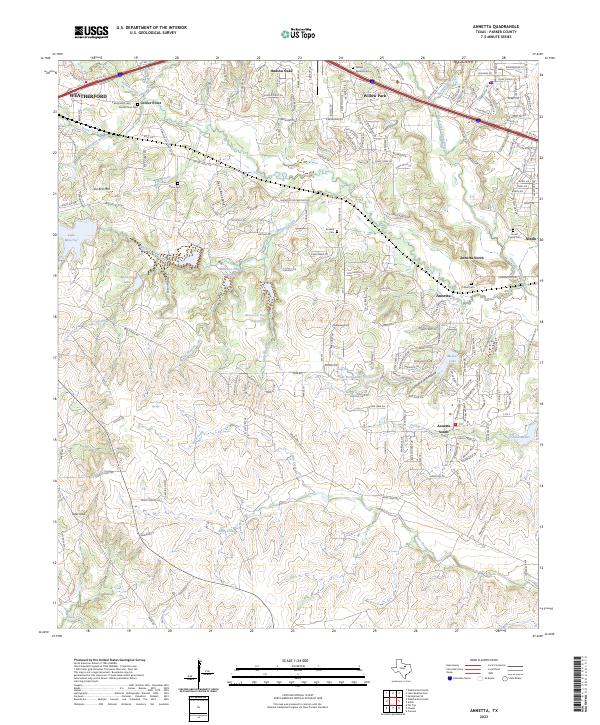
The Clear Fork Trinity River winds through this central Parker County landscape, anchored by the interconnected communities of Annetta, Annetta North, and Annetta South. The terrain is defined by prominent elevations like Joe Bell Mtn and the striking ridge of the Devils Backbone, with drainage provided by numerous waterways such as Bear Creek and Burgess Creek. This area shows a transition from the denser residential developments near Hudson Oaks and Willow Park to the more open, creek-carved hillsides to the south.
Find a feature on this map
48 named features on this map. Tap any name to fly to it.
Don’t see what you’re looking for? This feature index may not catch every label — zoom into the map to look around manually.
Map Details
Editions of this 2023 Annetta Map
This is the sole edition of this map. No revisions or reprints were ever made.
Historical Maps of Annetta North Through Time
1 maps found