Old Maps of Hudson Oaks, Texas
Explore 19 old maps of Hudson Oaks, spanning from 1891 to today. These high-resolution historic maps reveal how streets, neighborhoods, landmarks, and natural features evolved over time — perfect for genealogy, metal detecting, research, and local history exploration.
What you can do with these maps:
- See how Hudson Oaks changed over time: Compare historical maps to modern-day views to trace roads, homesites, rail lines & more.
- View detailed metadata: Each map includes creators, publishers, year, scale, and archive source.
- Overlay maps with satellite & LiDAR: Visualize the past alongside modern tools to explore terrain & human change.
- Trusted historical sources: Maps sourced from the USGS, Library of Congress, and other archives.
- Access maps your way: View online, download high-res files, or order prints for personal or research use.
Start exploring old maps of Hudson Oaks to uncover forgotten places, hidden landmarks, and the deep history beneath your feet.
Hudson Oaks, TX maps
(19)- 1891 Map of Weatherford
 1891 Weatherford1891 Print · USGSParker County and the surrounding ranchlands are shown here in the 1890s as the rail network transformed the region. Researchers can trace early river transport at Powell Ferry or locate vanished sites like Veal Station, Center Mill, and the Bear Creek P.O.
 - 1893 Map of Weatherford
 1893 Weatherford1893 Print · USGSParker County was at a pivotal turning point in the late nineteenth century as railroads began to stitch together the North Texas cattle country. Genealogists and local historians can trace early crossings like Powell Ferry and landmarks like Center Mill or Veal Station.5 unique versions available
 - 1932 Map of Springtown
 1932 Springtown1932 Print · USGSThe crossroads of North Texas in the 1920s and 30s reveal a landscape of small farming communities and country parishes. Trace the early footprints of Reno, Briar, and Azle, or locate family sites near New Hope Ch and Onion Hill Sch.
 - 1954 Map of Dallas, 1963 Print
 1954 Dallas1963 Print · USGSNorth Texas in the mid-fifties and early sixties reveals a landscape of rapid urban growth and water management. Genealogists and historians can trace the evolution of the metroplex through landmarks like Hensley Field, Boles Orphan Home, and the Texas & Pacific RR.4 unique versions available
 - 1958 Map of Dallas
 1958 Dallas1958 Print · USGSNorth Texas in the late fifties shows the dramatic expansion of the Metroplex as it absorbs surrounding farm towns. Genealogists and historians can trace old rail lines like the Missouri-Kansas-Texas and locate early lakefront developments at Eagle Mountain Lake and Lake Worth Village.
 - 1959 Map of Lake Weatherford, 1960 Print
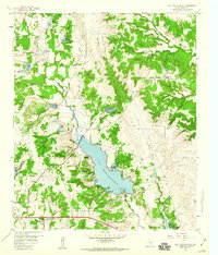 1959 Lake Weatherford1960 Print · USGSParker County in the late fifties shows a rural landscape adapting to new water resources like the recently filled Lake Weatherford. Trace the old community sites of Dicey and Punkin Center, and locate family burial grounds like Bethel Cem and Simmons Cem.2 unique versions available
 - 1959 Map of Anneta, 1960 Print
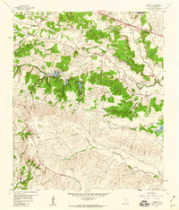 1959 Anneta1960 Print · USGSParker County in the late fifties shows a landscape of cattle ranches and expanding infrastructure. Trace old family landmarks like Nob Hill Ranch or follow the Texas and Pacific rail line through Anneta and Center Point.3 unique versions available
 - 1959 Map of Cresson, 1961 Print
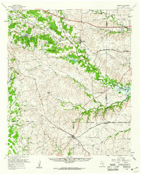 1959 Cresson1961 Print · USGSNorth Texas ranching and rail junctions dominate the landscape in the late fifties as Benbrook Lake takes shape. Genealogists can trace family roots through numerous remote burial grounds like Cresson Cem and Dixon Cem, while rail enthusiasts follow the Texas and Pacific line through Aledo.
 - 1985 Map of Fort Worth
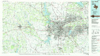 1985 Fort Worth1985 Print · USGSMid-1980s Tarrant County and Parker County emerge from a transition between urban sprawl and rural cattle country. Researchers can trace the expansion of Fort Worth and Arlington alongside older landmarks like Nebo Mtn and Kikapoo Falls.2 unique versions available
 - 2010 Map of Lake Weatherford, 2010 Print
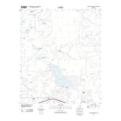 2010 Lake Weatherford2010 Print · USGSParker County's landscape in the early twenty-first century centers on the growing communities and recreational waters near Weatherford. Genealogists and local historians can trace family burial sites like Bethel Cemetery and Simmons Cemetery or explore the development of Hudson Oaks and Dicey.
 - 2010 Map of Annetta, 2010 Print
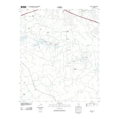 2010 Annetta2010 Print · USGSParker County at the start of the 2010s shows a landscape of growing communities and managed water resources south of Weatherford. Researchers can trace local heritage through sites like Dixon Cemetery, the Devils Backbone ridge, and the family-named Meeker Lake.
 - 2012 Map of Lake Weatherford, 2012 Print
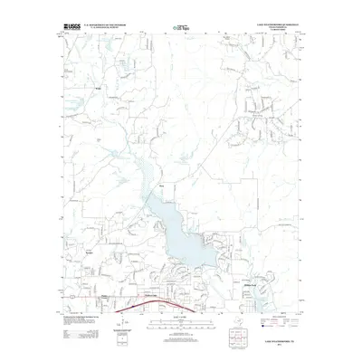 2012 Lake Weatherford2012 Print · USGSParker County's landscape is captured here in a period of suburban expansion surrounding the central reservoir. Researchers can locate several historical burial sites like Turner Cem and Wampler Cem alongside small communities such as Dicey and Hudson Oaks.
 - 2012 Map of Annetta, 2012 Print
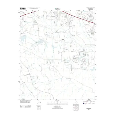 2012 Annetta2012 Print · USGSParker County's residential and ranching landscape is captured here in the early twenty-first century as the Annetta communities expanded. Genealogists and local historians can locate several family burial grounds like Dixon Cem and O'Neal Cem, or trace the ridgeline of the Devils Backbone.
 - 2016 Map of Lake Weatherford, 2016 Print
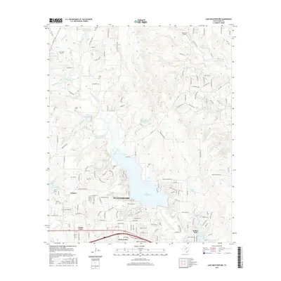 2016 Lake Weatherford2016 Print · USGSParker County at the height of its modern suburban and lakeside development reveals a landscape shaped by water management and aviation. Researchers can trace family history through sites like Simmons Cem or explore the growth of Hudson Oaks and Punkin Center.
 - 2016 Map of Annetta, 2016 Print
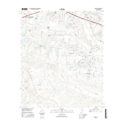 2016 Annetta2016 Print · USGSParker County in the mid-2010s shows the suburban integration of the Annetta communities between Weatherford and Aledo. Genealogists and local historians can trace family-named sites like Joe Bell Mountain, Dixon Cem, and the Devils Backbone.
 - 2019 Map of Lake Weatherford, 2019 Print
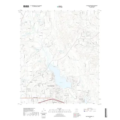 2019 Lake Weatherford2019 Print · USGSParker County at the end of the 2010s shows a landscape where suburban growth meets longstanding rural landmarks. Genealogists and local historians can trace the positions of Bethel Cem, Simmons Cem, and the small community of Punkin Center near the shores of Lake Weatherford.
 - 2019 Map of Annetta, 2019 Print
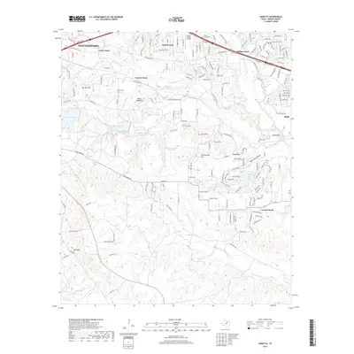 2019 Annetta2019 Print · USGSIn the suburbanizing countryside west of Fort Worth during the late 2010s, this area shows a unique mix of residential growth and family-named landmarks. Researchers can trace historic cemeteries such as Dixon Cem or Hood Cem alongside the expanding outskirts of Hudson Oaks and Annetta.
 - 2023 Map of Annetta, 2023 Print
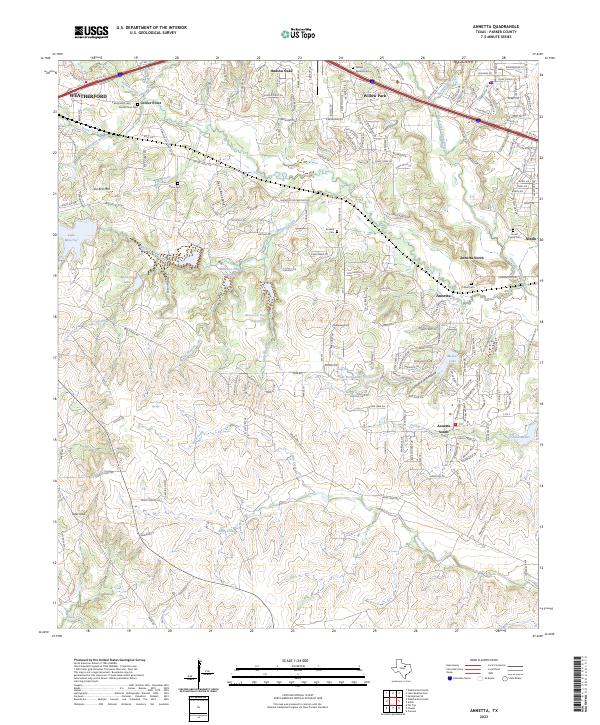 2023 Annetta2023 Print · USGSModern Parker County settlement patterns meet historic family landmarks in this recent survey of the communities south of I-20. Trace local lineage and land use through Center Point Cem and Annetta Cem or explore the terrain surrounding Joe Bell Mtn.
 - 2023 Map of Lake Weatherford, 2023 Print
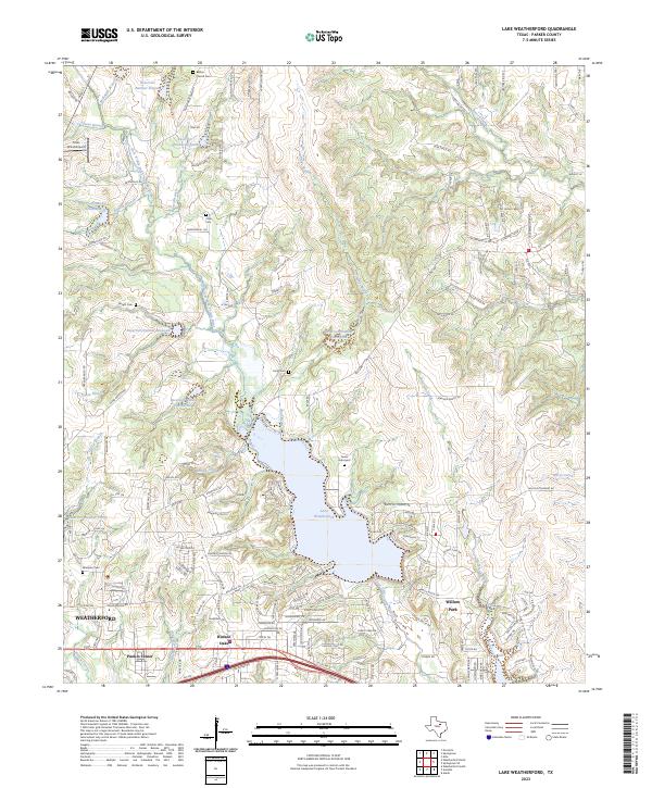 2023 Lake Weatherford2023 Print · USGSParker County settlement and the expansion of the WEATHERFORD area are captured here in the early twenty-first century. Genealogists can locate several family burial sites including the Turner Graveyard, Dicey Cem, and Wampler Cem near the shores of Lake Weatherford.
End of results
Showing maps 1-19 of 19
Top cities near Hudson Oaks
- Fort Worth historical maps
- Weatherford historical maps
- Benbrook historical maps
- White Settlement historical maps
- Azle historical maps
- Willow Park historical maps
See more
Frequently asked questions
- What are the different types of historical maps available for Hudson Oaks?
- What is the oldest map of Hudson Oaks?
- Where can I purchase historical maps of Hudson Oaks for my home or office?
- Where can I download high-res historical maps of Hudson Oaks?
- Are there historical topographic maps available for Hudson Oaks?
- Is there historical aerial imagery available for Hudson Oaks?
- Where are historical maps of Hudson Oaks sourced from?