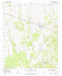
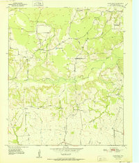
1950 Map of Annona
USGS Topo · Published 1977About this map
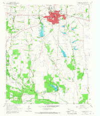
Annona serves as the central hub of this mid-century Red River County landscape, defined by a network of rural schools and churches that speak to the area's community structure in the post-war era. The Texas and Pacific railroad bisects the terrain, passing through the town and alongside T & P Lake. This infrastructure supported a localized agricultural economy during a period when small-scale education centers like Oakland Sch and Russell Chapel Sch were still prominent landmarks in the countryside.
Find a feature on this map
23 named features on this map. Tap any name to fly to it.
Don’t see what you’re looking for? This feature index may not catch every label — zoom into the map to look around manually.
Map Details
Editions of this 1950 Annona Map
This is the sole edition of this map. No revisions or reprints were ever made.
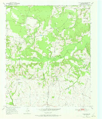
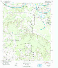
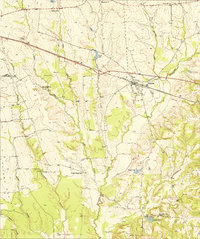
Other maps of this area
1950 · White Rock
USGS Topo · 1:24,000
1951 · English
USGS Topo · 1:24,000
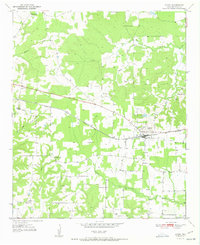
1951 · Annona
USGS Topo · 1:24,000
1951 · White Rock
USGS Topo · 1:24,000
1951 · Avery
USGS Topo · 1:24,000

1953 · Texarkana
USGS Topo · 1:250,000

1956 · Texarkana
USGS Topo · 1:250,000
1964 · Cuthand
USGS Topo · 1:24,000
1964 · Dimple
USGS Topo · 1:24,000
1964 · Clarksville
USGS Topo · 1:24,000