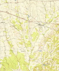
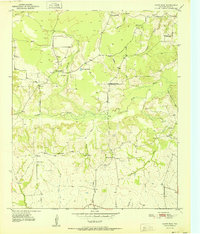
1951 Map of Annona
USGS Topo · Published 1951About this map
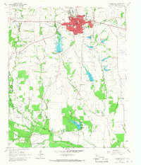
Annona serves as the central hub for this northeast Texas landscape, situated along the Texas and Pacific railroad. The 1951 survey reveals a rural society structured around local education and faith, with numerous neighborhood institutions such as Lanes Chapel Sch, Jake Creek Sch, and Oakland Sch scattered across the countryside. The presence of Hopewell Ch and Swanville Ch to the north, along with King Memorial Chapel near Crystal Lake in the south, indicates the historical density of small communities that once thrived between the creek branches.
Find a feature on this map
25 named features on this map. Tap any name to fly to it.
Don’t see what you’re looking for? This feature index may not catch every label — zoom into the map to look around manually.
Map Details
Editions of this 1951 Annona Map
This is the sole edition of this map. No revisions or reprints were ever made.
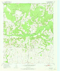
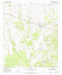
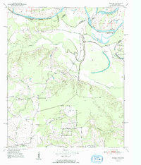
Other maps of this area
1950 · White Rock
USGS Topo · 1:24,000
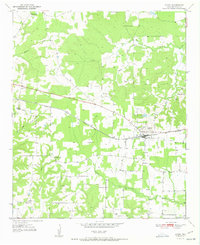
1950 · Annona
USGS Topo · 1:24,000
1951 · English
USGS Topo · 1:24,000
1951 · White Rock
USGS Topo · 1:24,000
1951 · Avery
USGS Topo · 1:24,000

1953 · Texarkana
USGS Topo · 1:250,000

1956 · Texarkana
USGS Topo · 1:250,000
1964 · Cuthand
USGS Topo · 1:24,000
1964 · Dimple
USGS Topo · 1:24,000
1964 · Clarksville
USGS Topo · 1:24,000