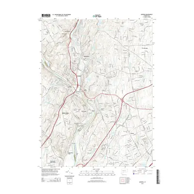
2015 Map of Ansonia
USGS Topo · Published 2015About this map
The Naugatuck River and Housatonic River confluence defines the industrial and residential core of Ansonia, Derby, and Shelton. This modern geographic portrait shows the dense urban development around East Derby and Sunnyside, transitioning into the wooded uplands of Woodbridge and Orange. The landscape is dotted with numerous established burial grounds, including the Elm Street Cem and the hillside Pine Grove Cem, which offer significant value for genealogical research in this part of New Haven County.
Find a feature on this map
319 named features on this map. Tap any name to fly to it.
Don’t see what you’re looking for? This feature index may not catch every label — zoom into the map to look around manually.
Map Details
Editions of this 2015 Ansonia Map
This is the sole edition of this map. No revisions or reprints were ever made.
Other maps of this area

1889 · Derby
USGS Topo · 1:62,500

1891 · Bridgeport
USGS Topo · 1:62,500

1891 · Derby
USGS Topo · 1:62,500

1892 · New Haven
USGS Topo · 1:62,500

1893 · Bridgeport
USGS Topo · 1:62,500

1893 · Derby
USGS Topo · 1:62,500

1920 · Bridgeport
USGS Topo · 1:62,500

1921 · New Haven
USGS Topo · 1:62,500

1943 · New Haven
USGS Topo · 1:31,680

1943 · Naugatuck
USGS Topo · 1:31,680