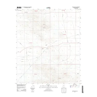
2013 Map of Antelope Pass
USGS Topo · Published 2013About this map
Antelope Pass serves as a central geographic corridor through the high-desert terrain of Hidalgo County. This 2013 survey illustrates a landscape defined by sharp elevation changes, where the Peloncillo Mountains rise to the west and landmarks like Grey Mtn and the uniquely named Nipple Hill dominate the horizon. The presence of Clay Mine Rd and the extensive Gas Line Rd suggests an area historically shaped by resource extraction and infrastructure development.
Find a feature on this map
33 named features on this map. Tap any name to fly to it.
Don’t see what you’re looking for? This feature index may not catch every label — zoom into the map to look around manually.
Map Details
Editions of this 2013 Antelope Pass Map
This is the sole edition of this map. No revisions or reprints were ever made.
Other maps of this area

1917 · San Simon
USGS Topo · 1:125,000

1917 · Chiricahua
USGS Topo · 1:125,000

1918 · Pratt
USGS Topo · 1:62,500

1919 · Pratt
USGS Topo · 1:62,500

1919 · Chiricahua
USGS Topo · 1:125,000

1926 · Rodeo
USGS Topo · 1:62,500

1928 · Chenoweth
USGS Topo · 1:62,500

1950 · Vanar
USGS Topo · 1:62,500

1951 · Vanar
USGS Topo · 1:62,500

1954 · Silver City
USGS Topo · 1:250,000