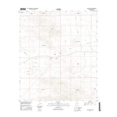
2017 Map of Antelope Pass
USGS Topo · Published 2017About this map
Antelope Pass serves as a critical geographic notch through the high desert terrain of the Peloncillo Mountains in this modern survey. The landscape is defined by its drainage systems and sharp elevation changes, where features like Hackett Canyon and Basin Canyon slice through the range. A sparse network of infrastructure supports the region, notably Gas Line Rd and several named tracks such as Clay Mine Rd and Pratt Rd that provide access to this isolated portion of Hidalgo County.
Find a feature on this map
30 named features on this map. Tap any name to fly to it.
Don’t see what you’re looking for? This feature index may not catch every label — zoom into the map to look around manually.
Map Details
Editions of this 2017 Antelope Pass Map
This is the sole edition of this map. No revisions or reprints were ever made.
Other maps of this area

1917 · San Simon
USGS Topo · 1:125,000

1917 · Chiricahua
USGS Topo · 1:125,000

1918 · Pratt
USGS Topo · 1:62,500

1919 · Pratt
USGS Topo · 1:62,500

1919 · Chiricahua
USGS Topo · 1:125,000

1926 · Rodeo
USGS Topo · 1:62,500

1928 · Chenoweth
USGS Topo · 1:62,500

1950 · Vanar
USGS Topo · 1:62,500

1951 · Vanar
USGS Topo · 1:62,500

1954 · Silver City
USGS Topo · 1:250,000