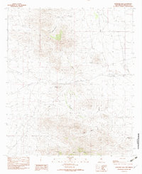
1982 Map of Antelope Pass
USGS Topo · Published 1982About this map
Antelope Pass serves as a critical geographic gateway through the high desert terrain of southwestern New Mexico. This 1982 provisional survey of Hidalgo County documents the subtle human footprint in an arid landscape, most notably the site of Pratt and the nearby Old Railroad Grade. These features speak to the historical reliance on rail corridors for movement across the desert floor. The map highlights the drainage patterns of the region, including the winding paths of Martin Draw and Long Canyon.
Find a feature on this map
15 named features on this map. Tap any name to fly to it.
Don’t see what you’re looking for? This feature index may not catch every label — zoom into the map to look around manually.
Map Details
Editions of this 1982 Antelope Pass Map
This is the sole edition of this map. No revisions or reprints were ever made.
Other maps of this area

1917 · San Simon
USGS Topo · 1:125,000

1917 · Chiricahua
USGS Topo · 1:125,000

1918 · Pratt
USGS Topo · 1:62,500

1919 · Pratt
USGS Topo · 1:62,500

1919 · Chiricahua
USGS Topo · 1:125,000

1926 · Rodeo
USGS Topo · 1:62,500

1928 · Chenoweth
USGS Topo · 1:62,500

1950 · Vanar
USGS Topo · 1:62,500

1951 · Vanar
USGS Topo · 1:62,500

1954 · Silver City
USGS Topo · 1:250,000