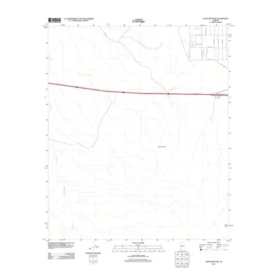
2011 Map of Antelope Peak
USGS Topo · Published 2011About this map
Antelope Peak and the high ground of Table Top dominate this part of the Sonoran desert, where the natural drainage of Vekol Wash cuts across the arid landscape. The 2011 survey reveals a transitional area where the open desert meets the early expansion of modern residential grids. In the northeast corner, a geometric network of roads including W Sioux Rd, S Big Horn Trl, and W Cardinal Rd indicates a growing community footprint. The map also highlights the critical infrastructure of the Hidden Valley Interchange, which connects this developing desert valley to the broader region. This document provides a record of how land use and transportation corridors were adapting to the Arizona climate at the start of the 2010s.
Find a feature on this map
19 named features on this map. Tap any name to fly to it.
Don’t see what you’re looking for? This feature index may not catch every label — zoom into the map to look around manually.
Map Details
Editions of this 2011 Antelope Peak Map
This is the sole edition of this map. No revisions or reprints were ever made.
Other maps of this area

1941 · Vekol Mountains
USGS Topo · 1:62,500

1942 · Vekol Mountains
USGS Topo · 1:62,500

1946 · Antelope Peak
USGS Topo · 1:62,500

1948 · Antelope Peak
USGS Topo · 1:62,500

1951 · Estrella
USGS Topo · 1:62,500

1953 · Ajo
USGS Topo · 1:250,000

1957 · Ajo
USGS Topo · 1:250,000

1958 · Ajo
USGS Topo · 1:250,000

1958 · Kaka
USGS Topo · 1:62,500

1962 · Ajo
USGS Topo · 1:250,000