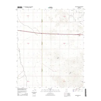
2014 Map of Antelope Peak
USGS Topo · Published 2014About this map
Antelope Peak and the Table Top Mountains dominate this 2014 survey of the desert borderlands where Maricopa Co meets Pinal Co. The landscape is defined by these prominent elevations, including the distinct summit of Table Top, which rise above a network of desert washes and seasonal drainages. Vekol Wash cuts through the western portion of the terrain, while the northern sections show the encroachment of rural road development.
Find a feature on this map
30 named features on this map. Tap any name to fly to it.
Don’t see what you’re looking for? This feature index may not catch every label — zoom into the map to look around manually.
Map Details
Editions of this 2014 Antelope Peak Map
This is the sole edition of this map. No revisions or reprints were ever made.
Other maps of this area

1941 · Vekol Mountains
USGS Topo · 1:62,500

1942 · Vekol Mountains
USGS Topo · 1:62,500

1946 · Antelope Peak
USGS Topo · 1:62,500

1948 · Antelope Peak
USGS Topo · 1:62,500

1951 · Estrella
USGS Topo · 1:62,500

1953 · Ajo
USGS Topo · 1:250,000

1957 · Ajo
USGS Topo · 1:250,000

1958 · Ajo
USGS Topo · 1:250,000

1958 · Kaka
USGS Topo · 1:62,500

1962 · Ajo
USGS Topo · 1:250,000