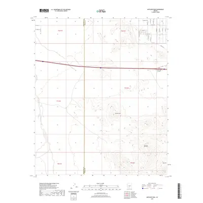
2018 Map of Antelope Peak
USGS Topo · Published 2018About this map
Antelope Peak rises as a central landmark in this desert landscape, marking a terrain defined by sharp elevation changes and seasonal drainage systems like Vekol Wash. The map illustrates the boundary where Maricopa Co meets Pinal County, showing a transition from the structured residential grid in the northeast to the open backcountry of the southern reaches. In the northeast, a network of residential paths such as Swanberg Trl and W Fresno Rd suggests a community expanding into the arid flats. To the south, the topography becomes significantly more dramatic, culminating in the rugged heights of the Table Top Mountains and the prominent summit of Table Top. The presence of Powerline Rd cutting across the north-central section highlights the infrastructure supporting these outlying Arizona settlements during the late 2010s.
Find a feature on this map
31 named features on this map. Tap any name to fly to it.
Don’t see what you’re looking for? This feature index may not catch every label — zoom into the map to look around manually.
Map Details
Editions of this 2018 Antelope Peak Map
This is the sole edition of this map. No revisions or reprints were ever made.
Other maps of this area

1941 · Vekol Mountains
USGS Topo · 1:62,500

1942 · Vekol Mountains
USGS Topo · 1:62,500

1946 · Antelope Peak
USGS Topo · 1:62,500

1948 · Antelope Peak
USGS Topo · 1:62,500

1951 · Estrella
USGS Topo · 1:62,500

1953 · Ajo
USGS Topo · 1:250,000

1957 · Ajo
USGS Topo · 1:250,000

1958 · Ajo
USGS Topo · 1:250,000

1958 · Kaka
USGS Topo · 1:62,500

1962 · Ajo
USGS Topo · 1:250,000