Loading...
Loading map...2024 Map of Antelope
USGS Topo · Published 2024About this map
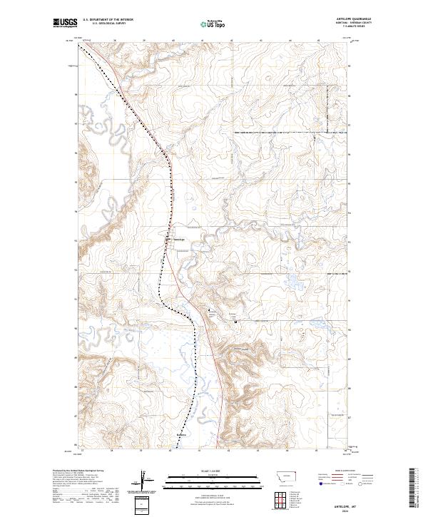
Big Muddy Creek meanders through this portion of Sheridan County, carving a valley floor characterized by complex oxbows and seasonal drainage patterns. The settlement of Antelope serves as a central point for the surrounding agricultural landscape, positioned near the junction of Railroad Ave and Coalridge Hwy. To the south, the community of Reserve sits near the confluence of McLaughlin Creek and the main creek channel.
Find a feature on this map
24 named features on this map. Tap any name to fly to it.
Don’t see what you’re looking for? This feature index may not catch every label — zoom into the map to look around manually.
Map Details
Date Portrayed2024
Date Published2024
PublisherU.S. Geological Survey
Map TypeTopographic
Scale1:24000
Physical Dimensions24 x 29 inches
Editions of this 2024 Antelope Map
This is the sole edition of this map. No revisions or reprints were ever made.
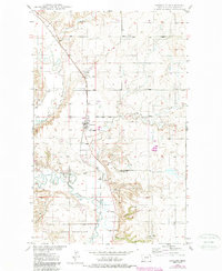
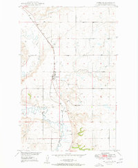
Historical Maps of Fort Kipp District Through Time
3 maps found
Featured Locations
Source Details
SourceU.S. Geological Survey
CopyrightPublic Domain