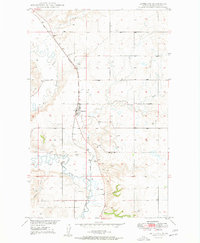
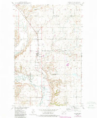
1949 Map of Antelope
USGS Topo · Published 1949About this map
Antelope sits at the intersection of the Great Northern railroad and the meandering path of Big Muddy Creek in Sheridan County. This 1949 survey documents a landscape defined by the drainage systems of the Missouri River Basin, where Antelope Creek and various coulees like Clarence Coulee carve through the prairie. The southern portion of the map includes part of the Fort Peck Indian Reservation, marking a significant jurisdictional boundary in this rural corner of Montana. Small settlements such as Folsom and McLaughlin appear along the rail line, representing the essential agricultural shipping points of the era. The presence of a Cem and a Gravel Pit near the creek bends provides specific points of interest for genealogists and local historians tracing the physical remains of mid-century community life and early infrastructure.
Find a feature on this map
12 named features on this map. Tap any name to fly to it.
Don’t see what you’re looking for? This feature index may not catch every label — zoom into the map to look around manually.
Map Details
Editions of this 1949 Antelope Map
2 editions found
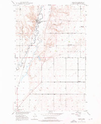
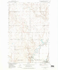
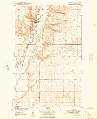
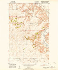
Other maps of this area
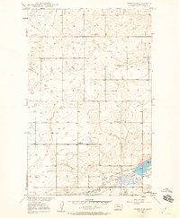
1948 · Reserve SE
USGS Topo · 1:24,000
1948 · Reserve
USGS Topo · 1:24,000
1948 · Alkali Coulee
USGS Topo · 1:24,000
1948 · Antelope
USGS Topo · 1:24,000

1949 · Reserve SE
USGS Topo · 1:24,000
1949 · Reserve
USGS Topo · 1:24,000
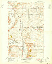
1949 · Antelope
USGS Topo · 1:24,000

1949 · Alkali Coulee
USGS Topo · 1:24,000
1950 · Shippe Canyon
USGS Topo · 1:24,000

1954 · Wolf Point
USGS Topo · 1:250,000