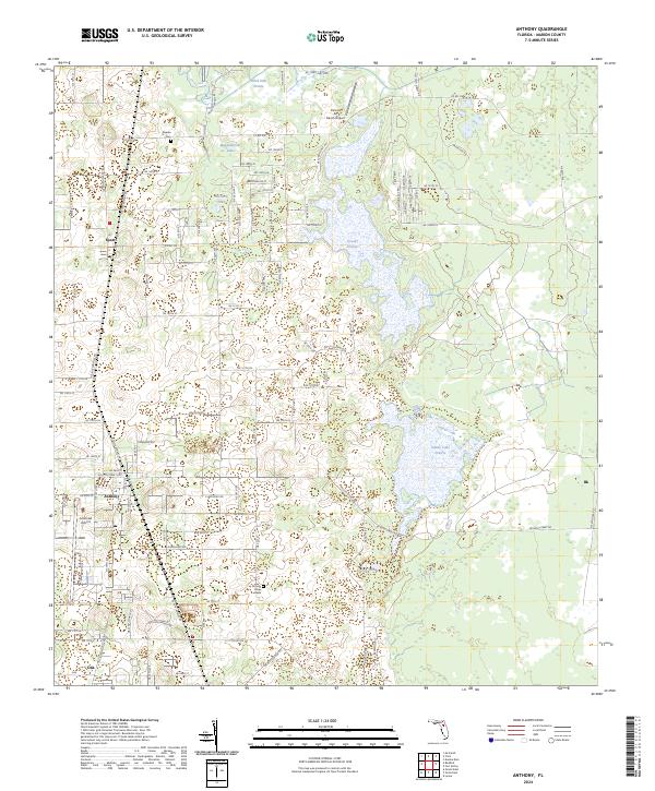
2024 Map of Anthony
USGS Topo · Published 2024About this map
The settlement of Anthony and the neighboring community of Sparr anchor this portion of Marion County, where the Florida landscape transitions from small rural hubs to expansive prairie wetlands. Genealogists can locate family sites near Dupree Cem and Mount Olive Cem, while the inclusion of Jumbolair Airport and Paniola Air Ranch Airport highlights the region's long-standing connection to private aviation and air ranch estates.
Find a feature on this map
57 named features on this map. Tap any name to fly to it.
Don’t see what you’re looking for? This feature index may not catch every label — zoom into the map to look around manually.
Map Details
Editions of this 2024 Anthony Map
This is the sole edition of this map. No revisions or reprints were ever made.
Other maps of this area

1893 · Citra
USGS Topo · 1:62,500

1895 · Citra
USGS Topo · 1:62,500

1895 · Ocala
USGS Topo · 1:62,500

1954 · Gainesville
USGS Topo · 1:250,000

1954 · Daytona Beach
USGS Topo · 1:250,000

1958 · Daytona Beach
USGS Topo · 1:250,000

1958 · Gainesville
USGS Topo · 1:250,000

1959 · Gainesville
USGS Topo · 1:250,000

1964 · Daytona Beach
USGS Topo · 1:250,000
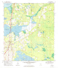
1967 · Citra
USGS Topo · 1:24,000