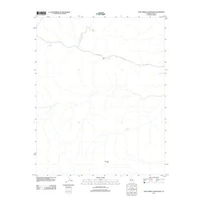
2012 Map of Anvil Spring Canyon West
USGS Topo · Published 2012About this map
Indian Ranch occupies a central position along Butte Valley Rd in this 2012 survey, representing a significant human point of interest in a desert landscape defined by isolated water sources and high-elevation landmarks. Located within the boundaries of Death Valley National Park, the area's hydrology is marked by the presence of Grubstake Spring and Warm Spring, which have historically served as vital resources for inhabitants and travelers alike. To the south, Sugarloaf Peak rises as a prominent topographical feature, anchoring the southern portion of the quadrangle. The map documents the sparse but critical network of roads and natural springs like Lost Spring that facilitate movement through this protected wilderness, providing a clear view of the relationship between arid-land geography and historical ranching sites.
Find a feature on this map
7 named features on this map. Tap any name to fly to it.
Don’t see what you’re looking for? This feature index may not catch every label — zoom into the map to look around manually.
Map Details
Editions of this 2012 Anvil Spring Canyon West Map
This is the sole edition of this map. No revisions or reprints were ever made.
Other maps of this area

1908 · Furnace Creek
USGS Topo · 1:250,000

1908 · Ballarat
USGS Topo · 1:250,000

1910 · Furnace Creek
USGS Topo · 1:250,000

1913 · Ballarat
USGS Topo · 1:250,000

1915 · Searles Lake
USGS Topo · 1:250,000

1933 · Avawatz Mountains
USGS Topo · 1:250,000

1947 · Trona
USGS Topo · 1:250,000

1948 · Trona
USGS Topo · 1:250,000

1948 · Death Valley
USGS Topo · 1:250,000

1950 · Manly Peak
USGS Topo · 1:62,500