Loading...
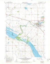
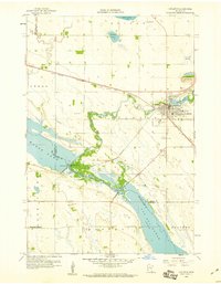
Loading map...1958 Map of Appleton
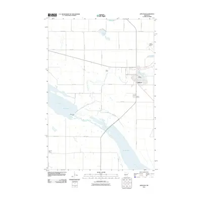
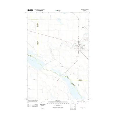
USGS Topo · Published 1982About this map
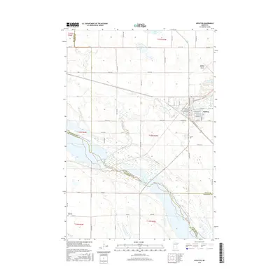
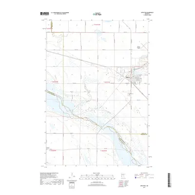
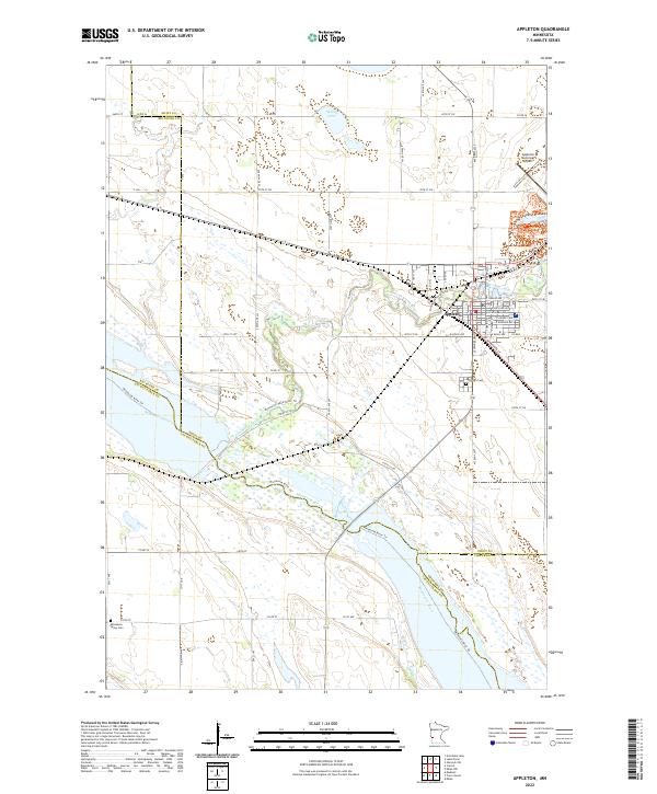
Appleton sits at a critical hydrologic junction where the Pomme De Terre River meets the Minnesota River, a landscape defined by the expansive waters of Marsh Lake and Lac Qui Parle Lake. The town's industrial and civic infrastructure is clearly visible, featuring the Mill Pond, a Municipal Hospital, and the Sewage Disposal system. The Chicago Milwaukee St Paul and Pacific railroad cuts a straight line across the prairie, reflecting the importance of rail transport to this agricultural region in the late 1950s.
Find a feature on this map
27 named features on this map. Tap any name to fly to it.
Don’t see what you’re looking for? This feature index may not catch every label — zoom into the map to look around manually.
Map Details
Date Portrayed1958
Date Published1982
PublisherU.S. Geological Survey
Map TypeTopographic
Scale1:24,000
Physical Dimensions21.53 x 27.23 inches
Editions of this 1958 Appleton Map
2 editions found
Historical Maps of Appleton Through Time
6 maps found
Featured Locations
Source Details
SourceU.S. Geological Survey
CopyrightPublic Domain