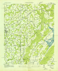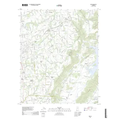
1950 Map of Arab
USGS Topo · Published 1950About this map
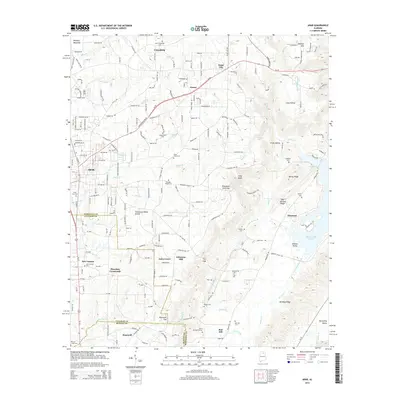
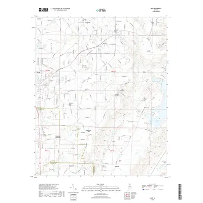
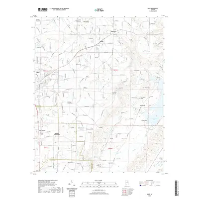
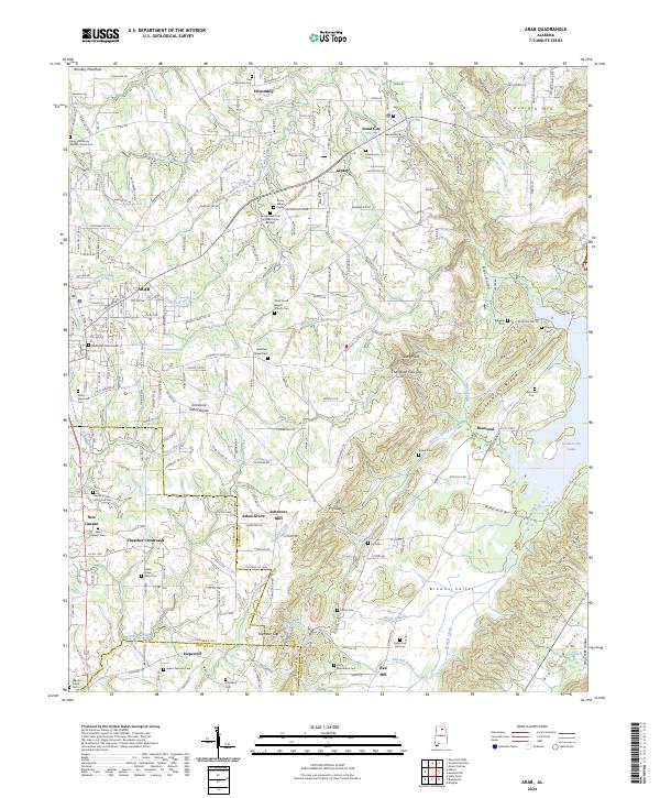
The Tennessee Valley Divide snakes through this high-elevation landscape, separating the waters flowing toward the Guntersville Reservoir from the southern drainages. The town of Arab serves as the primary hub, surrounded by a network of rural crossroads like Scant City and New Canaan. The landscape is defined by its ridge-and-valley structure, where Ben Johnson Ridge and Kelley Ridge overlook the eastern valleys. Local heritage is deeply rooted in the small country churches and cemeteries scattered across the terrain, including Rocky Mount Church and Ridgway Cem. The map captures an era of decentralized rural life, with Johnsons Mill and Grassy Sch indicating the community centers that sustained these upland Alabama settlements before more modern consolidation. Tributaries like Shoal Creek and Grassy Creek provide a drainage network for the plateau farmland, while Georgia Mountain stands as a prominent landmark on the northern horizon.
Find a feature on this map
64 named features on this map. Tap any name to fly to it.
Don’t see what you’re looking for? This feature index may not catch every label — zoom into the map to look around manually.
Map Details
Editions of this 1950 Arab Map
This is the sole edition of this map. No revisions or reprints were ever made.
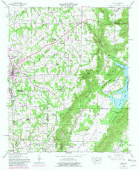
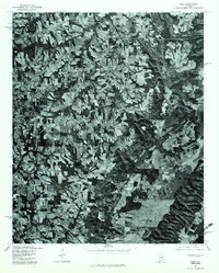
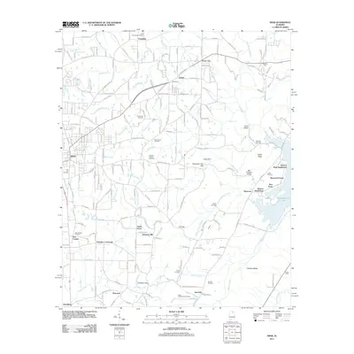
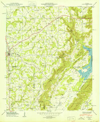
Historical Maps of Arab Through Time
10 maps found