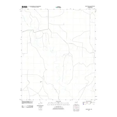
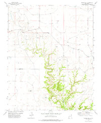
2010 Map of Aragon Hill
USGS Topo · Published 2010About this map
Aragon Hill serves as a prominent landmark in this sparsely settled corner of Union County, providing a high-ground perspective over the surrounding high plains. The landscape is defined by the drainage of Ute Creek, which carves a path through the western portion of the quadrangle. A system of rural thoroughfares, including County Hwy C-013 and County Road Z-2, connects the isolated ranchlands and farmsteads. This early 21st-century survey by the U.S. Geological Survey illustrates a region where the vast, open terrain remains largely untouched by modern urbanization, maintaining its character as a quiet agricultural and ranching frontier. The placement of cattle tanks and remote road junctions like County Hwy C-015 highlights the logistical network required to manage this expansive New Mexico territory.
Find a feature on this map
9 named features on this map. Tap any name to fly to it.
Don’t see what you’re looking for? This feature index may not catch every label — zoom into the map to look around manually.
Map Details
Editions of this 2010 Aragon Hill Map
This is the sole edition of this map. No revisions or reprints were ever made.
Other maps of this area

1954 · Dalhart
USGS Topo · 1:250,000

1958 · Dalhart
USGS Topo · 1:250,000

1962 · Dalhart
USGS Topo · 1:250,000

1973 · Yates SE
USGS Topo · 1:24,000

1973 · Beenham
USGS Topo · 1:24,000

1973 · Romero Spring
USGS Topo · 1:24,000
1973 · Valencia Spring
USGS Topo · 1:24,000
1973 · Pennington
USGS Topo · 1:24,000
1977 · Beenham SW
USGS Topo · 1:24,000
1977 · Aragon Hill
USGS Topo · 1:24,000