
1973 Map of Romero Spring
USGS Topo · Published 1978About this map
Don Carlos Hills dominate the northern landscape of this high plains region in Union County, where life in the early 1970s was clearly centered on the scarce water sources that sustain livestock and settlement. The map reveals a network of water features critical to the area's survival, including Romero Spring and several other unnamed locations simply marked as Spring. Cultural markers are sparse but significant for local history, including a Cem and a Well located east of the main hills. The presence of a Drill Hole and an area labeled Monte in the southeast suggests a mix of industrial exploration and specific topographical landmarks. This survey, grounded in 1972 aerial photography, provides a clear view of the ranching infrastructure of the era, where fine red dashed lines delineate fence lines across the open range.
Find a feature on this map
7 named features on this map. Tap any name to fly to it.
Don’t see what you’re looking for? This feature index may not catch every label — zoom into the map to look around manually.
Map Details
Editions of this 1973 Romero Spring Map
This is the sole edition of this map. No revisions or reprints were ever made.
Other maps of this area

1954 · Dalhart
USGS Topo · 1:250,000

1958 · Dalhart
USGS Topo · 1:250,000

1962 · Dalhart
USGS Topo · 1:250,000

1973 · Gladstone NW
USGS Topo · 1:24,000

1973 · Tripod Mountain
USGS Topo · 1:24,000

1973 · Beenham
USGS Topo · 1:24,000

1973 · Sofia
USGS Topo · 1:24,000
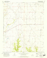
1973 · Pennington
USGS Topo · 1:24,000
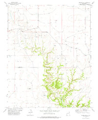
1977 · Aragon Hill
USGS Topo · 1:24,000
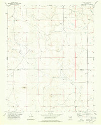
1977 · Yates
USGS Topo · 1:24,000