
1973 Map of Tripod Mountain
USGS Topo · Published 1977About this map
Tripod Mountain and the surrounding high plains of Union County define this high-altitude landscape as it was documented in the early 1970s. The terrain is characterized by prominent geological features such as Chavez Mountain and the elongated ridge known as The Hogback. This area of New Mexico's northeast corner shows a sparse ranching or resource-focused footprint, with land divisions marked by township and range lines across the semi-arid basins of Gallegos Creek and Cedar Creek. Evidence of local industry or road construction is noted by the presence of several Gravel Pit locations near the main thoroughfares. The map serves as a detailed record of the drainage patterns and landforms that have historically shaped settlement and movement through this part of the state.
Find a feature on this map
8 named features on this map. Tap any name to fly to it.
Don’t see what you’re looking for? This feature index may not catch every label — zoom into the map to look around manually.
Map Details
Editions of this 1973 Tripod Mountain Map
This is the sole edition of this map. No revisions or reprints were ever made.
Other maps of this area

1954 · Dalhart
USGS Topo · 1:250,000

1958 · Dalhart
USGS Topo · 1:250,000

1962 · Dalhart
USGS Topo · 1:250,000

1972 · Cow Mountain
USGS Topo · 1:24,000

1973 · Grenville SW
USGS Topo · 1:24,000

1973 · Snyder Lake
USGS Topo · 1:24,000

1973 · Sofia
USGS Topo · 1:24,000

1973 · Romero Spring
USGS Topo · 1:24,000
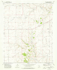
1973 · Goat Canyon
USGS Topo · 1:24,000
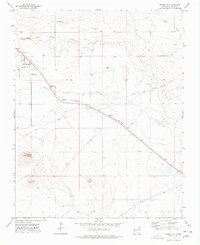
1973 · Grenville
USGS Topo · 1:24,000