
1973 Map of Snyder Lake
USGS Topo · Published 1977About this map
Snyder Lake and the surrounding high plains of Union County are captured here in the early 1970s, revealing a landscape defined by seasonal watercourses and volcanic geology. The presence of Cinder Mtn and an associated Strip Mine in the northern portion of the quadrangle points to the region's industrial and geological character. This terrain is carved by several drainages, including the meandering paths of Gallegos Creek, Perico Creek, and Carrizo Creek, which provide vital riparian corridors in this semi-arid environment. Scattered indicators of human activity, such as a Gravel Pit and a remote Spring, suggest a territory utilized for ranching and resource extraction. The map illustrates how local topography and water availability dictated the placement of roads and property boundaries across this section of northeastern New Mexico.
Find a feature on this map
9 named features on this map. Tap any name to fly to it.
Don’t see what you’re looking for? This feature index may not catch every label — zoom into the map to look around manually.
Map Details
Editions of this 1973 Snyder Lake Map
This is the sole edition of this map. No revisions or reprints were ever made.
Other maps of this area

1954 · Dalhart
USGS Topo · 1:250,000

1958 · Dalhart
USGS Topo · 1:250,000

1962 · Dalhart
USGS Topo · 1:250,000

1966 · Black Canyon
USGS Topo · 1:24,000

1966 · Tate School
USGS Topo · 1:24,000

1972 · Mount Dora
USGS Topo · 1:24,000

1973 · Grenville SW
USGS Topo · 1:24,000

1973 · Tripod Mountain
USGS Topo · 1:24,000
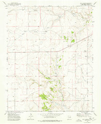
1973 · Goat Canyon
USGS Topo · 1:24,000
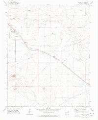
1973 · Grenville
USGS Topo · 1:24,000