
1973 Map of Grenville SW
USGS Topo · Published 1977About this map
The Santa Fe Trail (Cimarron Cutoff) cuts through the southern reaches of this Union County landscape, marking a vital historical corridor for trade and migration across New Mexico. This 1970s survey captures the intersection of storied overland paths and modern industrial infrastructure in an area defined by wide-open high-plains topography. Along the northern edge, the Colorado and Southern railroad tracks run parallel to the terrain's contours, tracing a route through the drainage of Cherry Creek as it winds through the canyon. Local economic activity is evidenced by a scattered Gravel Pit, while the section lines and fence demarcations reveal the structured organization of ranching and land use in this part of the state during the late twentieth century.
Find a feature on this map
4 named features on this map. Tap any name to fly to it.
Don’t see what you’re looking for? This feature index may not catch every label — zoom into the map to look around manually.
Map Details
Editions of this 1973 Grenville SW Map
This is the sole edition of this map. No revisions or reprints were ever made.
Other maps of this area

1954 · Dalhart
USGS Topo · 1:250,000

1958 · Dalhart
USGS Topo · 1:250,000

1962 · Dalhart
USGS Topo · 1:250,000

1972 · Little Grande
USGS Topo · 1:24,000

1972 · Cow Mountain
USGS Topo · 1:24,000
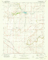
1973 · Wetherly Lake
USGS Topo · 1:24,000

1973 · Snyder Lake
USGS Topo · 1:24,000

1973 · Tripod Mountain
USGS Topo · 1:24,000
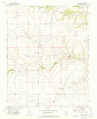
1973 · Blind Gap
USGS Topo · 1:24,000

1973 · Sofia
USGS Topo · 1:24,000