
1972 Map of Mount Dora
USGS Topo · Published 1974About this map
The Santa Fe Trail (Cimarron Cutoff) bisects the northern reaches of this Union County landscape, marking the enduring presence of this historical western trade route. The map centers on the prominent volcanic landmark of Mount Dora, which rises above the surrounding plains. To its southwest, the small settlement of Mount Dora sits along the Colorado and Southern railroad line, serving as a focal point for local transport and ranching activity.
Find a feature on this map
16 named features on this map. Tap any name to fly to it.
Don’t see what you’re looking for? This feature index may not catch every label — zoom into the map to look around manually.
Map Details
Editions of this 1972 Mount Dora Map
This is the sole edition of this map. No revisions or reprints were ever made.
Other maps of this area

1954 · Dalhart
USGS Topo · 1:250,000

1958 · Dalhart
USGS Topo · 1:250,000

1962 · Dalhart
USGS Topo · 1:250,000

1966 · Royce
USGS Topo · 1:24,000

1966 · Black Canyon
USGS Topo · 1:24,000

1972 · Mc Laughlin Bridge
USGS Topo · 1:24,000

1972 · Bible Top Butte
USGS Topo · 1:24,000
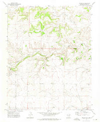
1972 · Boiler Gap
USGS Topo · 1:24,000

1973 · Snyder Lake
USGS Topo · 1:24,000
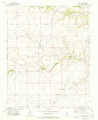
1973 · Blind Gap
USGS Topo · 1:24,000