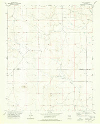
1977 Map of Yates
USGS Topo · Published 1978About this map
Yates anchors the southeastern corner of this High Plains landscape, situated along the county line where Union Co meets Harding County. The terrain is defined by the winding drainage systems of Alamocita Creek and Ute Creek, which cut through the high tablelands of northeastern New Mexico. Notable landmarks such as Cerro de la Cruz rise above the surrounding plains, providing essential orientation points in an area marked by wide-open grazing land and dispersed water sources. The map reveals the critical importance of water in this arid environment, showing several isolated springs and the small catchment of Island Lake. These features, alongside the network of unimproved roads and light-duty paths, illustrate the remote ranching character of the region as it existed in the late 1970s.
Find a feature on this map
7 named features on this map. Tap any name to fly to it.
Don’t see what you’re looking for? This feature index may not catch every label — zoom into the map to look around manually.
Map Details
Editions of this 1977 Yates Map
This is the sole edition of this map. No revisions or reprints were ever made.
Other maps of this area

1954 · Raton
USGS Topo · 1:250,000

1954 · Dalhart
USGS Topo · 1:250,000

1958 · Raton
USGS Topo · 1:250,000

1958 · Dalhart
USGS Topo · 1:250,000

1962 · Dalhart
USGS Topo · 1:250,000

1973 · Yates SE
USGS Topo · 1:24,000

1973 · Romero Spring
USGS Topo · 1:24,000
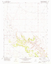
1973 · Valencia Spring
USGS Topo · 1:24,000
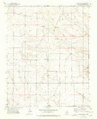
1974 · Kansas Valley
USGS Topo · 1:24,000

1974 · Farley
USGS Topo · 1:24,000