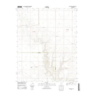
2013 Map of Aragon Hill
USGS Topo · Published 2013About this map
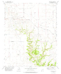
Aragon Hill stands as the primary landmark in this section of northeast New Mexico, where the high plains begin to break into complex drainage patterns. The map highlights the jurisdictional boundary between Union Co and Harding Co, which runs through the center of the quadrangle. The area is defined by a sparse but essential network of rural roads, including NM-120 and several county routes such as CO Road Z-1 and CO Road Z-2. The landscape reflects the transition from flat tabletop mesa land to deep, winding canyon systems, typical of the cattle ranching country that has defined this region for generations. This 2013 survey provides a detailed look at the public land survey system, clearly demarcating the sections and ranges that underpin the territory's spatial organization.
Find a feature on this map
13 named features on this map. Tap any name to fly to it.
Don’t see what you’re looking for? This feature index may not catch every label — zoom into the map to look around manually.
Map Details
Editions of this 2013 Aragon Hill Map
This is the sole edition of this map. No revisions or reprints were ever made.
Other maps of this area

1954 · Dalhart
USGS Topo · 1:250,000

1958 · Dalhart
USGS Topo · 1:250,000

1962 · Dalhart
USGS Topo · 1:250,000

1973 · Yates SE
USGS Topo · 1:24,000

1973 · Beenham
USGS Topo · 1:24,000

1973 · Romero Spring
USGS Topo · 1:24,000
1973 · Valencia Spring
USGS Topo · 1:24,000
1973 · Pennington
USGS Topo · 1:24,000
1977 · Beenham SW
USGS Topo · 1:24,000
1977 · Aragon Hill
USGS Topo · 1:24,000