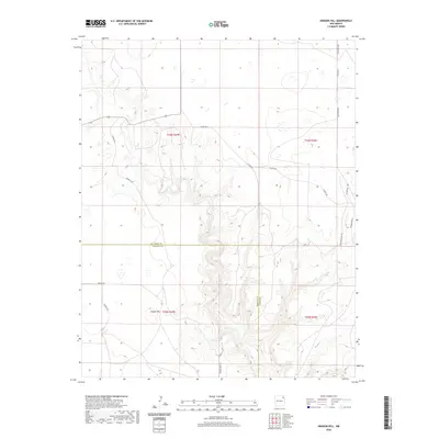
2020 Map of Aragon Hill
USGS Topo · Published 2020About this map
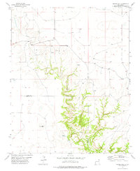
Aragon Hill serves as the central landmark for this high-plains landscape where the borders of Union and Harding counties meet. The 2020 topography illustrates a remote rangeland defined by its drainage patterns and a sparse network of county roads. These transit lines, including Pasamonte Rd and Romero Bros Rd, follow the natural contours of the land, connecting isolated ranching properties across the township and range grid. The boundary between Union and Harding counties bisects the map, showing how administrative lines were drawn across this northeastern New Mexico terrain. Researchers will find a snapshot of modern land use where historical family names persist on local routes like Modrall Rd and Dorothy Rd, tracing the human presence in this wide-open territory.
Find a feature on this map
19 named features on this map. Tap any name to fly to it.
Don’t see what you’re looking for? This feature index may not catch every label — zoom into the map to look around manually.
Map Details
Editions of this 2020 Aragon Hill Map
This is the sole edition of this map. No revisions or reprints were ever made.
Other maps of this area

1954 · Dalhart
USGS Topo · 1:250,000

1958 · Dalhart
USGS Topo · 1:250,000

1962 · Dalhart
USGS Topo · 1:250,000

1973 · Yates SE
USGS Topo · 1:24,000

1973 · Beenham
USGS Topo · 1:24,000

1973 · Romero Spring
USGS Topo · 1:24,000
1973 · Valencia Spring
USGS Topo · 1:24,000
1973 · Pennington
USGS Topo · 1:24,000
1977 · Beenham SW
USGS Topo · 1:24,000
1977 · Aragon Hill
USGS Topo · 1:24,000