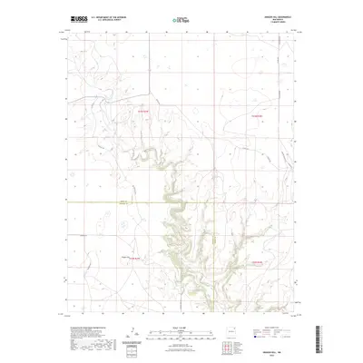
2023 Map of Aragon Hill
USGS Topo · Published 2023About this map
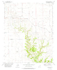
Aragon Hill dominates the southern landscape of this high plains region, situated where the borders of Union and Harding Counties meet. This 2023 survey illustrates the modern rural infrastructure of northeastern New Mexico, characterized by a grid of named local roads that likely reflect long-standing ranching property lines and family names. Primary transit through the northern reaches is facilitated by Pasamonte Rd and Co RD c013, while the southern terrain is navigated via Romero Bros Rd. The map reveals a land divided by township and range lines, such as t23n r29e, marking a territory of expansive acreage and isolated landmarks. The intricate contour lines around Aragon Hill provide a clear view of the complex drainages and elevations that define the local geography away from the flat cattle ranges.
Find a feature on this map
19 named features on this map. Tap any name to fly to it.
Don’t see what you’re looking for? This feature index may not catch every label — zoom into the map to look around manually.
Map Details
Editions of this 2023 Aragon Hill Map
This is the sole edition of this map. No revisions or reprints were ever made.
Other maps of this area

1954 · Dalhart
USGS Topo · 1:250,000

1958 · Dalhart
USGS Topo · 1:250,000

1962 · Dalhart
USGS Topo · 1:250,000

1973 · Yates SE
USGS Topo · 1:24,000

1973 · Beenham
USGS Topo · 1:24,000

1973 · Romero Spring
USGS Topo · 1:24,000
1973 · Valencia Spring
USGS Topo · 1:24,000
1973 · Pennington
USGS Topo · 1:24,000
1977 · Beenham SW
USGS Topo · 1:24,000
1977 · Aragon Hill
USGS Topo · 1:24,000