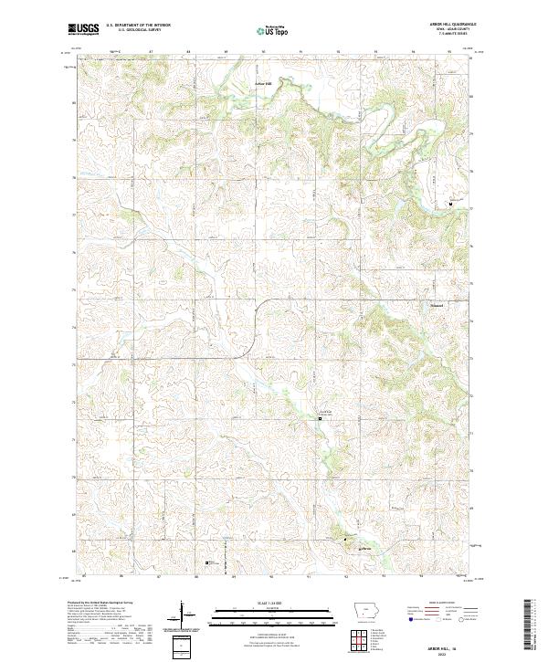
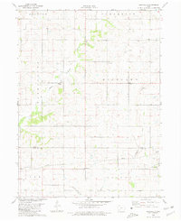
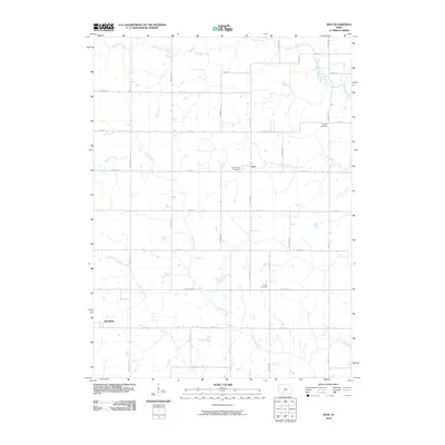
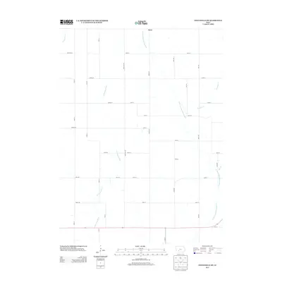
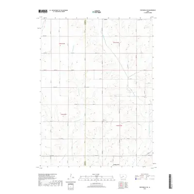
2022 Map of Arbor Hill
USGS Topo · Published 2022About this map
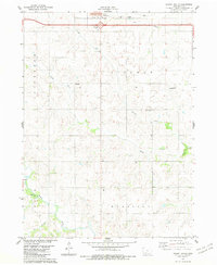
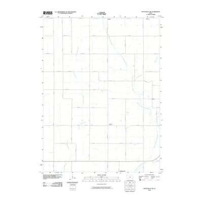
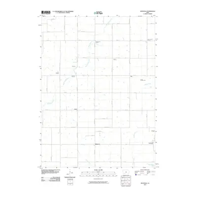
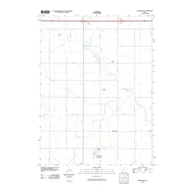
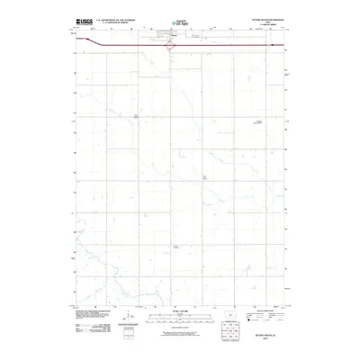
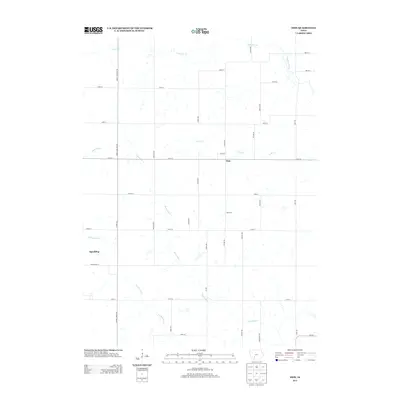
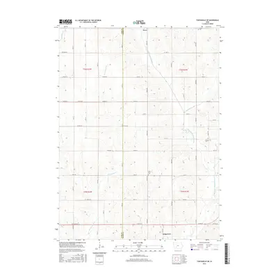
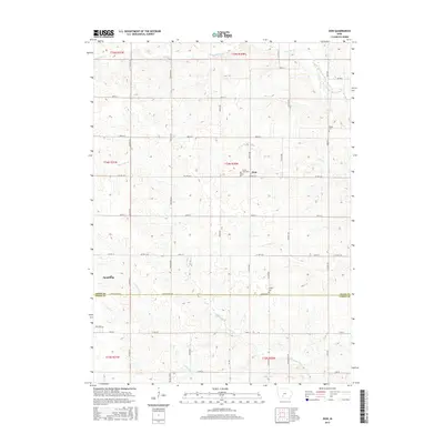
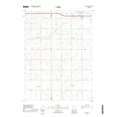
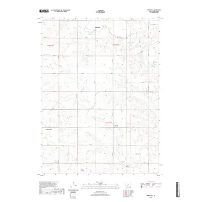
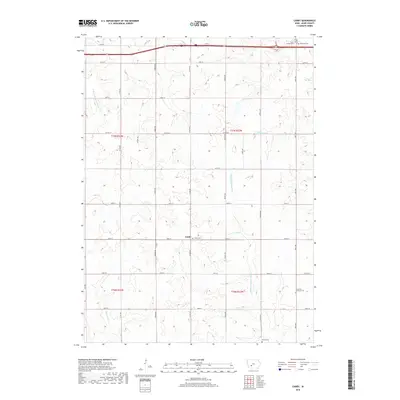
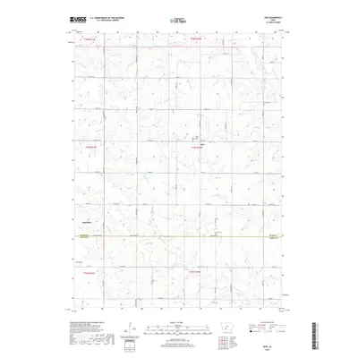
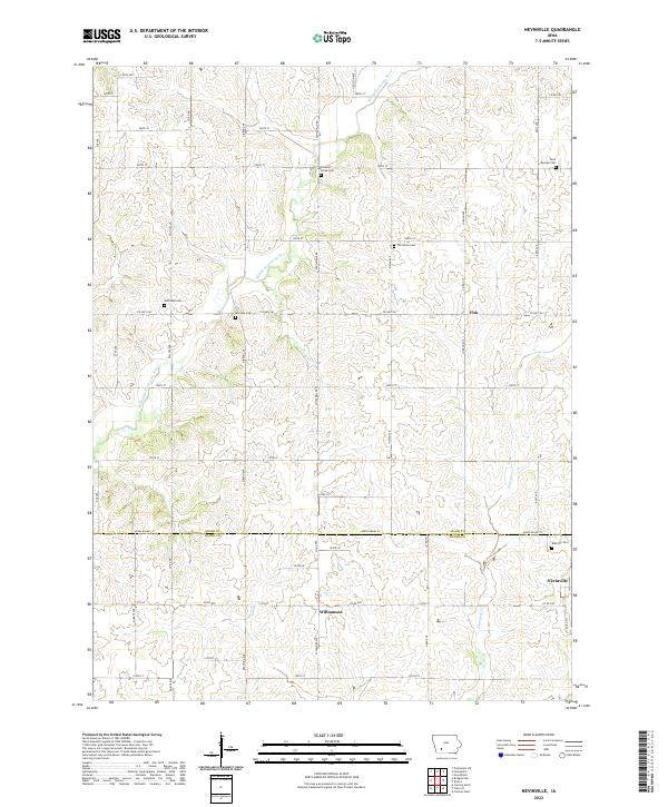
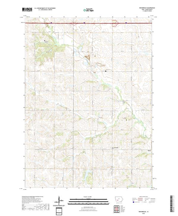
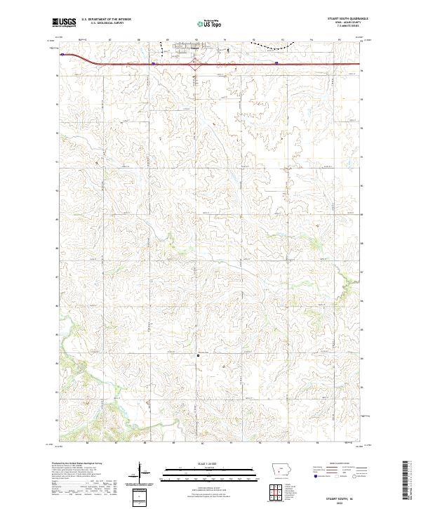
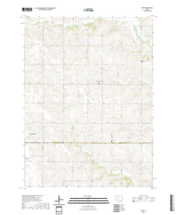
Arbor Hill and the surrounding rural townships of Adair County are defined by a network of sectional roads and meandering waterways. The Middle River flows through the northern reaches, while the Thompson River cuts across the central and southern portions of the landscape. Small rural clusters like Hebron and Stanzel anchor the agricultural area, each connected by a grid of routes such as Sheldon Ave and 240th St. For those researching local family history, the map provides precise locations for several burial grounds, including the Hebron Cem, Boley Farm Cem, and Grand River Center Cem. The drainage patterns of smaller tributaries like Battle Cr and Marvel Cr illustrate the undulating prairie topography that has shaped farming and settlement in this part of Iowa for generations.
Find a feature on this map
37 named features on this map. Tap any name to fly to it.
Don’t see what you’re looking for? This feature index may not catch every label — zoom into the map to look around manually.
Map Details
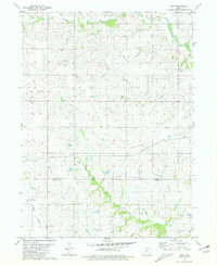
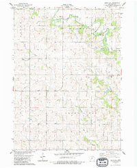
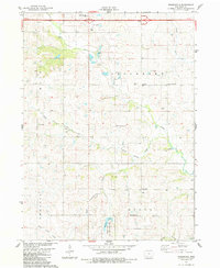
Editions of this 2022 Arbor Hill Map
This is the sole edition of this map. No revisions or reprints were ever made.
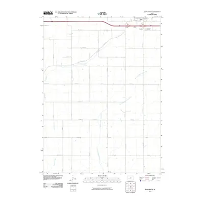
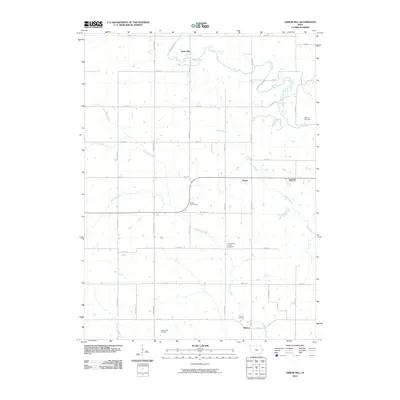
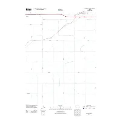
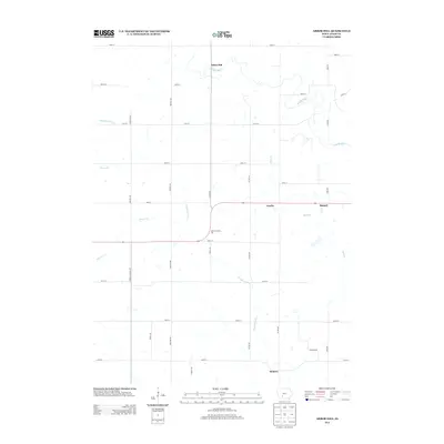
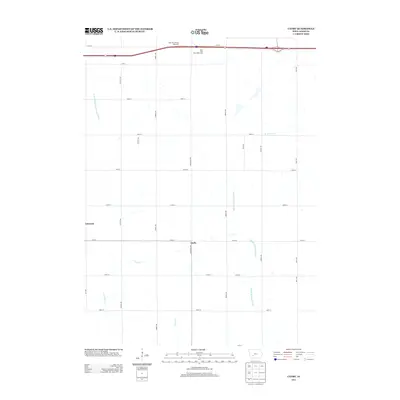
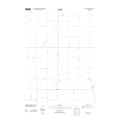
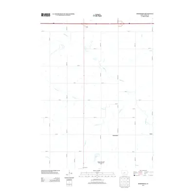
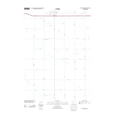
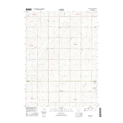
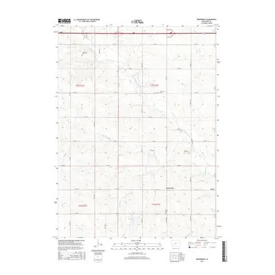
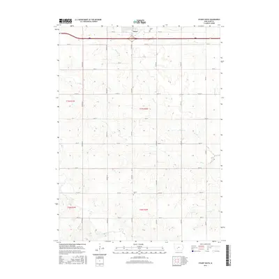
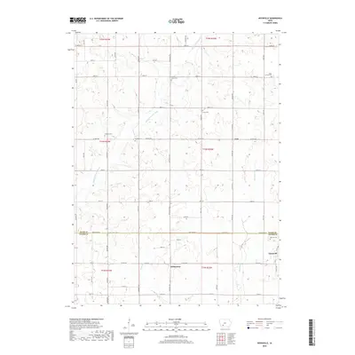
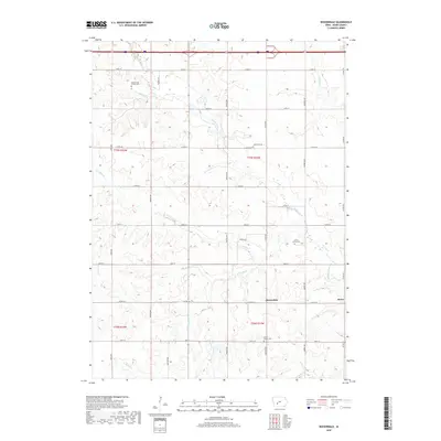
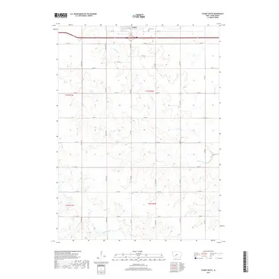
Historical Maps of Hebron Through Time
48 maps found
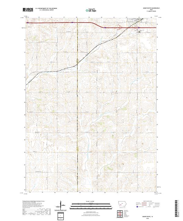
1971 Adair South
Adair County, IA
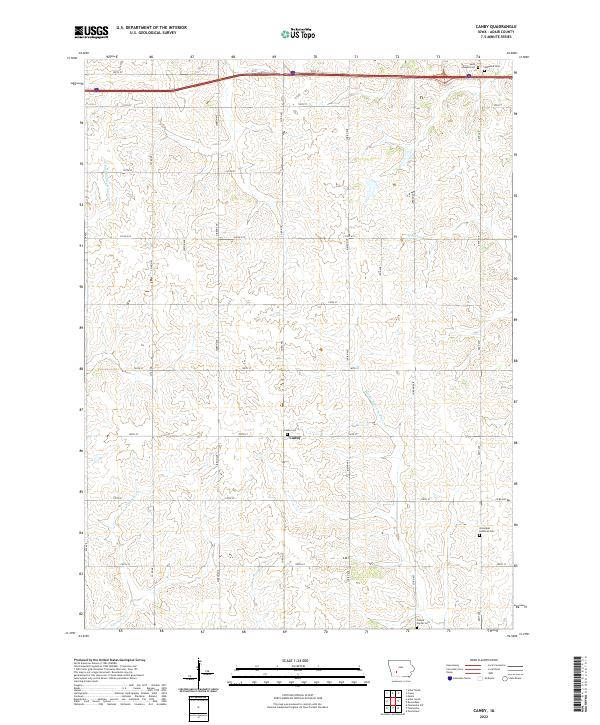
1971 Canby
Adair County, IA
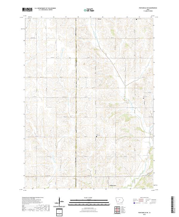
1971 Fontanelle SW
Adair County, IA
1980 Nevinville
Adair County, IA
1981 Zion
Adair County, IA
1983 Arbor Hill
Adair County, IA
1983 Rosserdale
Adair County, IA
1983 Stuart South
Adair County, IA
2010 Adair South
Adair County, IA
2010 Arbor Hill
Adair County, IA
2010 Canby
Adair County, IA
2010 Fontanelle SW
Adair County, IA
2010 Nevinville
Adair County, IA
2010 Rosserdale
Adair County, IA
2010 Stuart South
Adair County, IA
2010 Zion
Adair County, IA
2013 Adair South
Adair County, IA
2013 Arbor Hill
Adair County, IA
2013 Canby
Adair County, IA
2013 Fontanelle SW
Adair County, IA
2013 Nevinville
Adair County, IA
2013 Rosserdale
Adair County, IA
2013 Stuart South
Adair County, IA
2013 Zion
Adair County, IA
2015 Adair South
Adair County, IA
2015 Arbor Hill
Adair County, IA
2015 Canby
Adair County, IA
2015 Fontanelle SW
Adair County, IA
2015 Nevinville
Adair County, IA
2015 Rosserdale
Adair County, IA
2015 Stuart South
Adair County, IA
2015 Zion
Adair County, IA
2018 Adair South
Adair County, IA
2018 Arbor Hill
Adair County, IA
2018 Canby
Adair County, IA
2018 Fontanelle SW
Adair County, IA
2018 Nevinville
Adair County, IA
2018 Rosserdale
Adair County, IA
2018 Stuart South
Adair County, IA
2018 Zion
Adair County, IA
2022 Adair South
Adair County, IA
2022 Arbor Hill
Adair County, IA
2022 Canby
Adair County, IA
2022 Fontanelle SW
Adair County, IA
2022 Nevinville
Adair County, IA
2022 Rosserdale
Adair County, IA
2022 Stuart South
Adair County, IA
2022 Zion
Adair County, IA