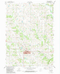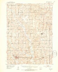
1951 Map of Afton
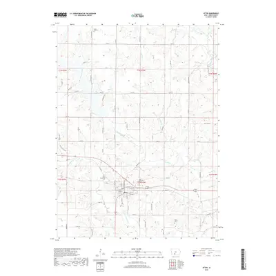
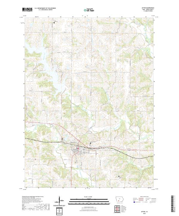
USGS Topo · Published 1953About this map
The Thompson River and its numerous tributaries, including Twelvemile Creek and Threemile Creek, carve through the rolling agricultural landscape of Union, Madison, and Adair Counties. In the early 1950s, the region was defined by its dense network of rural infrastructure, visible in the dozens of numbered schoolhouses such as School No 1 and School No 9 that served isolated farmsteads. Two major rail corridors, the Chicago Burlington and Quincy and the Chicago Great Western, intersect near Talmage, facilitating the export of livestock and grain from local hubs like Afton and Lorimor.
Find a feature on this map
57 named features on this map. Tap any name to fly to it.
Don’t see what you’re looking for? This feature index may not catch every label — zoom into the map to look around manually.
Map Details
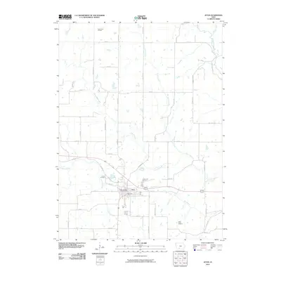
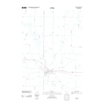
Editions of this 1951 Afton Map
2 editions found
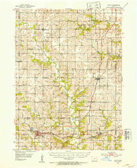
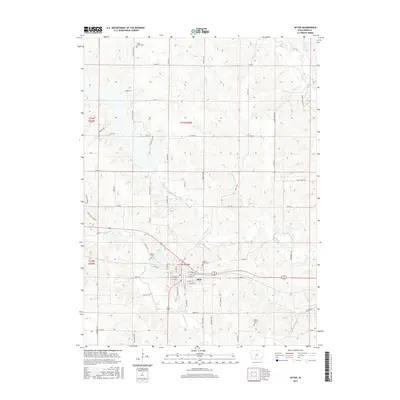
Historical Maps of Afton Through Time
7 maps found