Loading...
Loading map...2022 Map of Arcadia
USGS Topo · Published 2022About this map
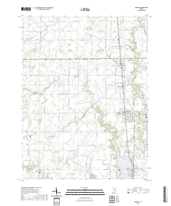
Arcadia and Cicero anchor this northern Indiana landscape, where the grid of rural roads meets the winding courses of Cicero Creek and its many tributaries. The area is defined by a dense network of agricultural drainage and natural waterways, including Little Cicero Cr, Taylor Cr, and Bear Slide Cr. These streams shaped the early settlement patterns of Hamilton and Tipton Counties, connecting small communities like Atlanta and the site of Millersburg.
Find a feature on this map
67 named features on this map. Tap any name to fly to it.
Don’t see what you’re looking for? This feature index may not catch every label — zoom into the map to look around manually.
Map Details
Date Portrayed2022
Date Published2022
PublisherU.S. Geological Survey
Map TypeTopographic
Scale1:24000
Physical Dimensions24 x 29 inches
Editions of this 2022 Arcadia Map
This is the sole edition of this map. No revisions or reprints were ever made.
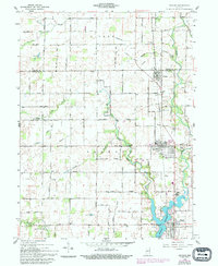
Historical Maps of Arcadia Through Time
Featured Locations
Source Details
SourceU.S. Geological Survey
CopyrightPublic Domain