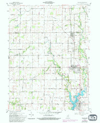
1961 Map of Arcadia
USGS Topo · Published 1994About this map
Cicero Creek and its tributaries define the drainage of this central Indiana landscape, flowing southward into the significant expanse of the Morse Reservoir. This 1961 survey, updated with revisions from the 1980s, documents the agricultural and suburban transition of northern Hamilton County. The Norfolk and Western rail line serves as a central spine for the linear settlements of Atlanta, Arcadia, and Cicero. The map reveals a high density of rural social infrastructure, including the Indiana Academy and numerous small cemeteries such as Goodykoontz Cem and Sumner Cem that reflect long-standing family landholdings. Local landmarks like the Racetrack in Arcadia and the Gaging Station on the creek indicate the community's recreational and civil engineering priorities during the mid-20th century.
Find a feature on this map
49 named features on this map. Tap any name to fly to it.
Don’t see what you’re looking for? This feature index may not catch every label — zoom into the map to look around manually.
Map Details
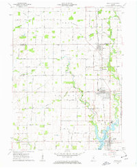
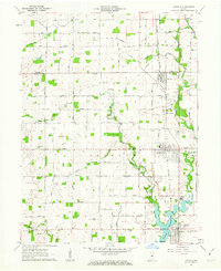
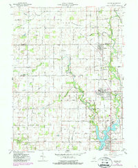
Editions of this 1961 Arcadia Map
4 editions found
Other maps of this area

1953 · Westfield
USGS Topo · 1:24,000

1953 · Riverwood
USGS Topo · 1:24,000

1953 · Noblesville
USGS Topo · 1:24,000

1953 · Danville
USGS Topo · 1:250,000

1953 · Muncie
USGS Topo · 1:250,000

1955 · Danville
USGS Topo · 1:250,000

1956 · Muncie
USGS Topo · 1:250,000

1956 · Danville
USGS Topo · 1:250,000

1960 · Noblesville
USGS Topo · 1:24,000

1960 · Kempton
USGS Topo · 1:24,000