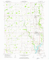
1961 Map of Arcadia
USGS Topo · Published 1963About this map
Morse Reservoir dominates the southern landscape of this 1961 survey, where the Spillway and Tucker Park sit near the northern edge of Cicero. The area's settlement pattern is defined by the New York Chicago and St Louis railroad, which links the towns of Atlanta, Arcadia, and Millersburg along a north-south axis. This rail corridor fostered a series of agricultural hubs, evidenced by the numerous grain storage facilities and cemeteries like Sumner Cem and Goodykoontz Cem that dot the surrounding countryside.
Find a feature on this map
53 named features on this map. Tap any name to fly to it.
Don’t see what you’re looking for? This feature index may not catch every label — zoom into the map to look around manually.
Map Details
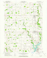
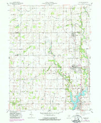
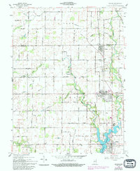
Editions of this 1961 Arcadia Map
4 editions found
Other maps of this area

1953 · Westfield
USGS Topo · 1:24,000

1953 · Riverwood
USGS Topo · 1:24,000

1953 · Noblesville
USGS Topo · 1:24,000

1953 · Danville
USGS Topo · 1:250,000

1953 · Muncie
USGS Topo · 1:250,000

1955 · Danville
USGS Topo · 1:250,000

1956 · Muncie
USGS Topo · 1:250,000

1956 · Danville
USGS Topo · 1:250,000

1960 · Noblesville
USGS Topo · 1:24,000

1960 · Kempton
USGS Topo · 1:24,000