
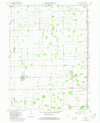
1960 Map of Kempton
USGS Topo · Published 1961About this map
Kempton and Goldsmith serve as the primary hubs for this rural Indiana landscape, which is defined by a dense network of drainage canals and agricultural settlements. The New York Chicago and St Louis railroad cuts through the southern portion of the sheet, providing a vital transport corridor for local farmers. The map reveals a deeply established social structure through its numerous country churches and cemeteries, such as Mt Olive Ch, Bethel Ch, and the Wolford Cem near Tetersburg. An intriguing historical marker is found in the south, where the Old Indian Treaty Boundary Ditch aligns with the township lines of Jefferson and Liberty. This intricate system of named waterways, including Carter Ditch and Broad Creek, underscores the massive scale of 19th-century land reclamation that transformed these central Indiana wetlands into productive farmland.
Find a feature on this map
51 named features on this map. Tap any name to fly to it.
Don’t see what you’re looking for? This feature index may not catch every label — zoom into the map to look around manually.
Map Details
Editions of this 1960 Kempton Map
2 editions found
Other maps of this area

1953 · Danville
USGS Topo · 1:250,000

1955 · Danville
USGS Topo · 1:250,000

1956 · Danville
USGS Topo · 1:250,000

1960 · Kokomo West
USGS Topo · 1:24,000

1960 · Kokomo East
USGS Topo · 1:24,000

1960 · Tipton
USGS Topo · 1:24,000

1961 · Russiaville
USGS Topo · 1:24,000

1961 · Sheridan
USGS Topo · 1:24,000

1961 · Hillisburg
USGS Topo · 1:24,000
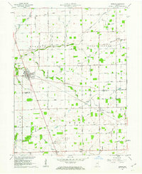
1961 · Kirklin
USGS Topo · 1:24,000