
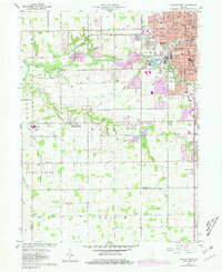
1960 Map of Kokomo West
USGS Topo · Published 1961About this map
The urban periphery of western Kokomo and the agricultural lands of Harrison and Honey Creek townships define this early 1960s landscape. Residential expansion is visible in the emergence of Indian Heights and several schools, including Maple Crest Sch and Western High Sch, which served the growing population on the city’s edge. Rural life at this time centered on small communities and transport hubs like West Middleton, where the New York Chicago and St Louis Railroad intersects the local grid.
Find a feature on this map
54 named features on this map. Tap any name to fly to it.
Don’t see what you’re looking for? This feature index may not catch every label — zoom into the map to look around manually.
Map Details
Editions of this 1960 Kokomo West Map
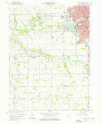
Other maps of this area

1953 · Danville
USGS Topo · 1:250,000

1955 · Danville
USGS Topo · 1:250,000

1956 · Danville
USGS Topo · 1:250,000

1959 · Galveston
USGS Topo · 1:24,000

1959 · Miami
USGS Topo · 1:24,000

1959 · Young America
USGS Topo · 1:24,000

1960 · Kokomo East
USGS Topo · 1:24,000

1960 · Kempton
USGS Topo · 1:24,000

1960 · Tipton
USGS Topo · 1:24,000

1961 · Russiaville
USGS Topo · 1:24,000