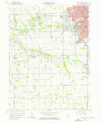
1960 Map of Kokomo West
USGS Topo · Published 1981About this map
The transition from the industrial fringes of Kokomo to the productive agriculture of Harrison Township and Clay Township defines this mid-century landscape. Major rail corridors like the Pennsylvania RR and the St Louis and Chicago Railroad cut through the terrain, serving rural industrial points like Shambaugh Siding and the gravel pits near Alto. Educational and spiritual life is anchored by a dense network of country institutions, including Western High Sch and several family-linked churches such as Shiloh Ch and Mt Zion Ch.
Find a feature on this map
60 named features on this map. Tap any name to fly to it.
Don’t see what you’re looking for? This feature index may not catch every label — zoom into the map to look around manually.
Map Details
Editions of this 1960 Kokomo West Map
Other maps of this area

1953 · Danville
USGS Topo · 1:250,000

1955 · Danville
USGS Topo · 1:250,000

1956 · Danville
USGS Topo · 1:250,000

1959 · Galveston
USGS Topo · 1:24,000

1959 · Miami
USGS Topo · 1:24,000

1959 · Young America
USGS Topo · 1:24,000

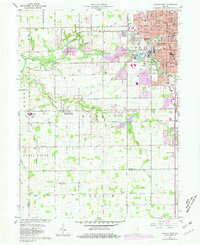
1960 · Kokomo West
USGS Topo · 1:24,000

1960 · Kokomo East
USGS Topo · 1:24,000

1960 · Kempton
USGS Topo · 1:24,000

1960 · Tipton
USGS Topo · 1:24,000