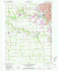
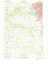
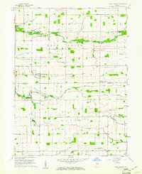
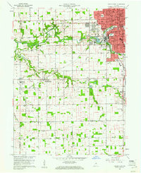
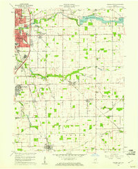
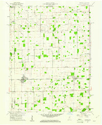
1960 Map of Kokomo West
USGS Topo · Published 1976About this map
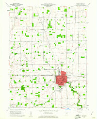
Wildcat Creek and its tributaries carve a westward path through Howard County, defining the drainage patterns of this central Indiana landscape. To the east, the urban expansion of Kokomo is visible through its dense residential grid, concentrated around Foster Park and the winding Wildcat Creek. The industrial and civic footprint of the city is clear, featuring the Hospital, numerous neighborhood schools like Lincoln Sch, and the Norfolk and Western railroad corridor.
Find a feature on this map
48 named features on this map. Tap any name to fly to it.
Don’t see what you’re looking for? This feature index may not catch every label — zoom into the map to look around manually.
Map Details
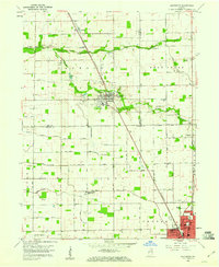
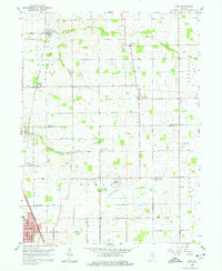
Editions of this 1960 Kokomo West Map
Other maps of this area

1953 · Danville
USGS Topo · 1:250,000

1955 · Danville
USGS Topo · 1:250,000

1956 · Danville
USGS Topo · 1:250,000
1959 · Galveston
USGS Topo · 1:24,000
1959 · Miami
USGS Topo · 1:24,000
1959 · Young America
USGS Topo · 1:24,000
1960 · Kokomo West
USGS Topo · 1:24,000
1960 · Kokomo East
USGS Topo · 1:24,000
1960 · Kempton
USGS Topo · 1:24,000
1960 · Tipton
USGS Topo · 1:24,000