
1959 Map of Galveston
USGS Topo · Published 1960About this map
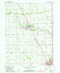
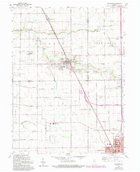
Galveston serves as the central hub of this late-1950s survey, situated where the Pennsylvania railroad cuts a diagonal path through the grid of rural township roads. The landscape is defined by an intricate network of agricultural drainage, including the Turley Ditch and the Mc Kay Dredge Ditch, which support the farmsteads of Jackson and Deer Creek townships. The map is particularly valuable for its density of local heritage sites, documenting a series of country cemeteries such as Patterson Cem and McWilliams Cem, alongside institutions like the Township Sch. To the south, the northern reaches of Kokomo and the Bon Air neighborhood begin to appear, marked by the Roosevelt Sch and local parks. This record provides a clear view of the transition between small-town railway centers and the expanding industrial fringe of Howard County.
Find a feature on this map
54 named features on this map. Tap any name to fly to it.
Don’t see what you’re looking for? This feature index may not catch every label — zoom into the map to look around manually.
Map Details
Editions of this 1959 Galveston Map
3 editions found
Other maps of this area

1951 · Onward
USGS Topo · 1:24,000

1951 · Bunker Hill
USGS Topo · 1:24,000

1953 · Danville
USGS Topo · 1:250,000

1955 · Danville
USGS Topo · 1:250,000

1955 · Anoka
USGS Topo · 1:24,000

1956 · Danville
USGS Topo · 1:250,000

1959 · Miami
USGS Topo · 1:24,000

1959 · Young America
USGS Topo · 1:24,000

1960 · Kokomo West
USGS Topo · 1:24,000

1960 · Kokomo East
USGS Topo · 1:24,000