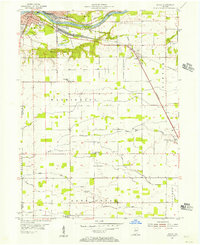
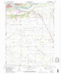
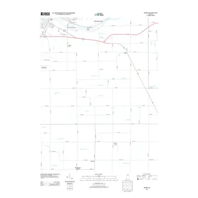
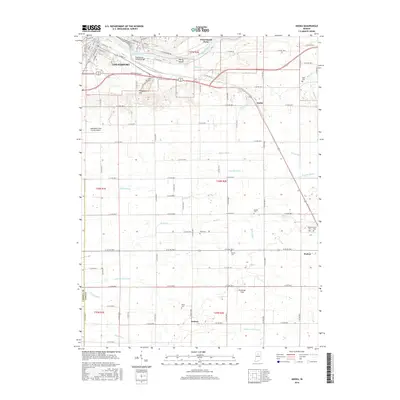
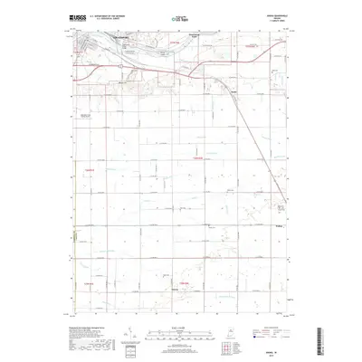
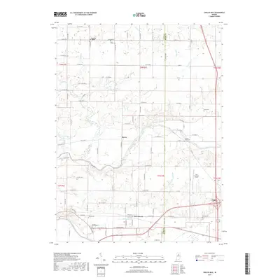
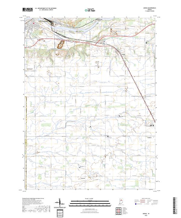
1955 Map of Anoka
USGS Topo · Published 1957About this map
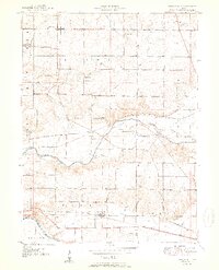
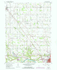
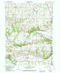
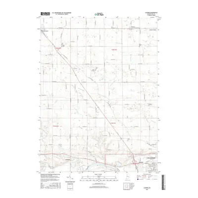
The Wabash River and Eel River converge at Logansport, defining the industrial and geographic character of this mid-century Indiana landscape. The city’s eastern outskirts are marked by heavy rail infrastructure, including the Pennsylvania RR and specialized landmarks like the Radio Tower (WSAL). Outside the city center, the terrain transitions into the organized agricultural grids of Washington Township and Deer Creek Township, where the economy is driven by a network of drainage systems like Ansberry Ditch and Bird Ditch.
Find a feature on this map
47 named features on this map. Tap any name to fly to it.
Don’t see what you’re looking for? This feature index may not catch every label — zoom into the map to look around manually.
Map Details
Editions of this 1955 Anoka Map
This is the sole edition of this map. No revisions or reprints were ever made.
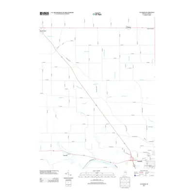
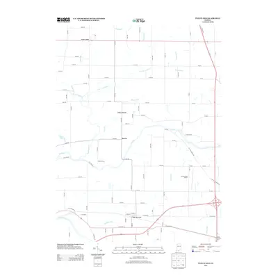
Historical Maps of Logansport Through Time
20 maps found
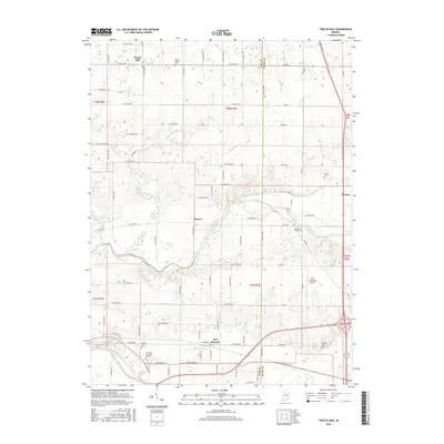
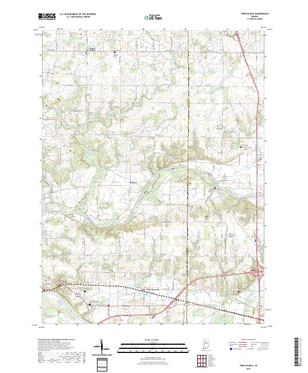
1951 Twelve Mile
Cass County, IN
1955 Anoka
Cass County, IN
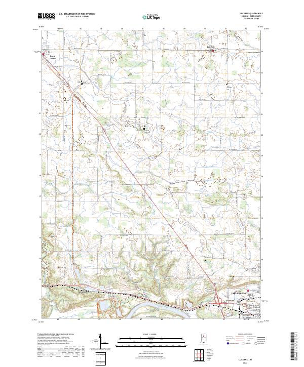
1960 Lucerne
Cass County, IN
1963 Twelve Mile
Cass County, IN
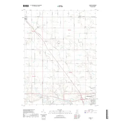
1972 Anoka
Cass County, IN
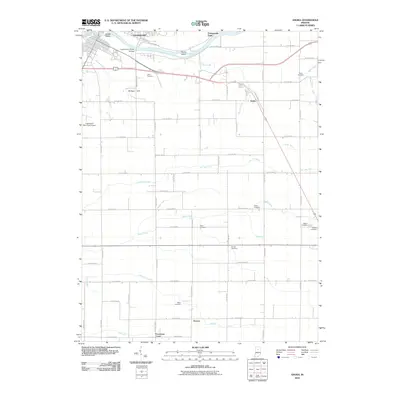
2010 Anoka
Cass County, IN
2010 Lucerne
Cass County, IN
2010 Twelve Mile
Cass County, IN
2013 Anoka
Cass County, IN
2013 Lucerne
Cass County, IN
2013 Twelve Mile
Cass County, IN
2016 Anoka
Cass County, IN
2016 Lucerne
Cass County, IN
2016 Twelve Mile
Cass County, IN
2019 Anoka
Cass County, IN
2019 Lucerne
Cass County, IN
2019 Twelve Mile
Cass County, IN
2022 Anoka
Cass County, IN
2022 Lucerne
Cass County, IN
2022 Twelve Mile
Cass County, IN