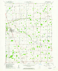
1961 Map of Kirklin
USGS Topo · Published 1963About this map
Sugar Creek winds across this rural landscape, carving a valley through the agricultural heartland of central Indiana. The village of Kirklin serves as a local hub, where the Monon rail line intersects the town grid near the junction of several arterial roads. This 1961 field-checked survey reveals an intricate network of drainage systems, such as Powers Ditch and Gangwer Ditch, which were essential for maintaining the productivity of the surrounding farmland.
Find a feature on this map
35 named features on this map. Tap any name to fly to it.
Don’t see what you’re looking for? This feature index may not catch every label — zoom into the map to look around manually.
Map Details
Editions of this 1961 Kirklin Map
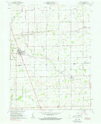
2 editions found
Other maps of this area

1953 · Westfield
USGS Topo · 1:24,000

1953 · Rosston
USGS Topo · 1:24,000

1953 · Lebanon
USGS Topo · 1:24,000

1953 · Danville
USGS Topo · 1:250,000

1955 · Danville
USGS Topo · 1:250,000

1956 · Danville
USGS Topo · 1:250,000

1960 · Kempton
USGS Topo · 1:24,000

1961 · Michigantown
USGS Topo · 1:24,000

1961 · Sheridan
USGS Topo · 1:24,000

1961 · Mechanicsburg
USGS Topo · 1:24,000