
1961 Map of Mechanicsburg
USGS Topo · Published 1962About this map
Mechanicsburg sits at the junction of Sugar Creek and Mud Creek in this 1961 survey of the central Indiana countryside. The landscape is defined by the rigid grid of the Public Land Survey System, with roads like Meridian Road and Brick Road following section lines across the fertile townships of Jackson, Kirklin, and Washington. The Monon Railroad cuts a diagonal path through the northeast, serving the grain elevator at Cyclone.
Find a feature on this map
40 named features on this map. Tap any name to fly to it.
Don’t see what you’re looking for? This feature index may not catch every label — zoom into the map to look around manually.
Map Details
Editions of this 1961 Mechanicsburg Map
2 editions found
Other maps of this area

1953 · Rosston
USGS Topo · 1:24,000

1953 · Lebanon
USGS Topo · 1:24,000

1953 · Danville
USGS Topo · 1:250,000

1955 · Danville
USGS Topo · 1:250,000

1956 · Danville
USGS Topo · 1:250,000

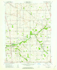
1961 · Michigantown
USGS Topo · 1:24,000

1961 · Hillisburg
USGS Topo · 1:24,000

1961 · Frankfort
USGS Topo · 1:24,000
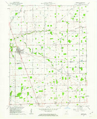
1961 · Kirklin
USGS Topo · 1:24,000
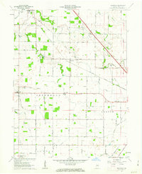
1961 · Hazelrigg
USGS Topo · 1:24,000