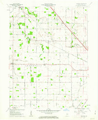
1961 Map of Hazelrigg
USGS Topo · Published 1963About this map
Sugar Creek and Prairie Creek wind through the fertile agricultural lands of Boone County in the early 1960s, defining a landscape marked by small rail-side settlements and rural school districts. The New York Central Railroad bisects the terrain, serving the eponymous hamlet of Hazelrigg and the larger town of Thorntown in the northwest corner. A notable historical boundary, the Old Indian Treaty Boundary, cuts diagonally across the townships of Washington, Jefferson, and Center, reflecting the systematic surveying of the Indiana frontier.
Find a feature on this map
50 named features on this map. Tap any name to fly to it.
Don’t see what you’re looking for? This feature index may not catch every label — zoom into the map to look around manually.
Map Details
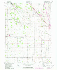
Editions of this 1961 Hazelrigg Map
2 editions found
Other maps of this area

1953 · Fayette
USGS Topo · 1:24,000

1953 · Lizton
USGS Topo · 1:24,000

1953 · Lebanon
USGS Topo · 1:24,000

1953 · Danville
USGS Topo · 1:250,000

1953 · Indianapolis
USGS Topo · 1:250,000

1955 · Danville
USGS Topo · 1:250,000

1956 · Danville
USGS Topo · 1:250,000

1956 · Indianapolis
USGS Topo · 1:250,000

1957 · Indianapolis
USGS Topo · 1:250,000

1957 · New Ross
USGS Topo · 1:24,000