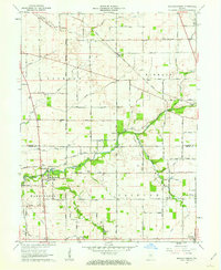
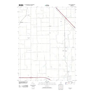
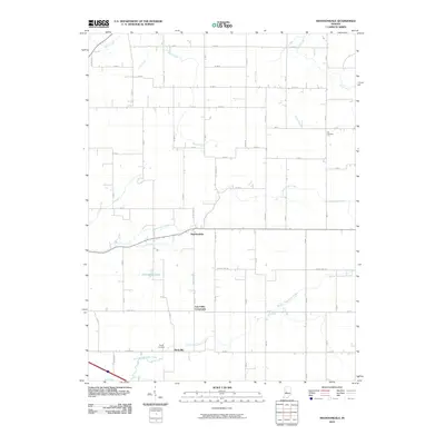
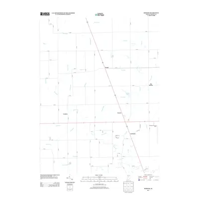
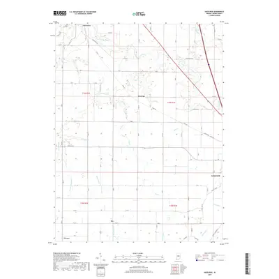
1961 Map of Hazelrigg
USGS Topo · Published 1980About this map
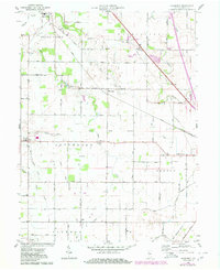
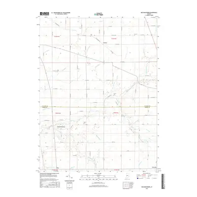
The Old Indian Treaty Boundary slices diagonally across this Boone County landscape, a permanent mark of early frontier history amidst a grid of rural farmland. Centered on the small settlement of Hazelrigg, the map reveals a mid-century agricultural community connected by the Conrail rail line and the waters of Sugar Creek. To the northwest, Thorntown serves as a primary hub, featuring Maple Lawn Cem and the local High Sch. The distribution of rural landmarks, such as Pleasant View Ch and New Salem Ch, illustrates the scattered yet organized social structure of Washington, Jefferson, and Center townships. Notable family and community sites like Norman Lake and the Hazel College area provide specific points of interest for those tracing local lineages or historical land use patterns in this part of Indiana.
Find a feature on this map
31 named features on this map. Tap any name to fly to it.
Don’t see what you’re looking for? This feature index may not catch every label — zoom into the map to look around manually.
Map Details
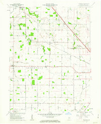
Editions of this 1961 Hazelrigg Map
2 editions found
Historical Maps of Lebanon Through Time
32 maps found
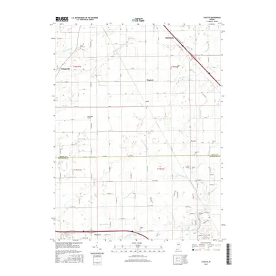
1953 Fayette
Boone County, IN
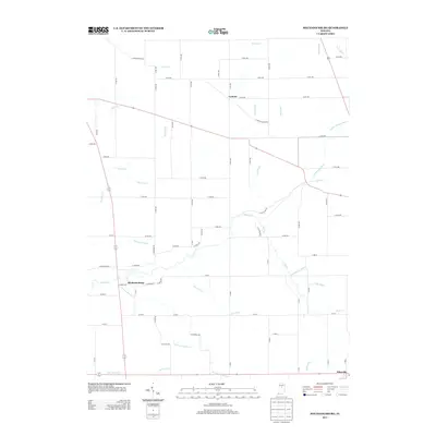
1953 Rosston
Boone County, IN
1961 Hazelrigg
Boone County, IN
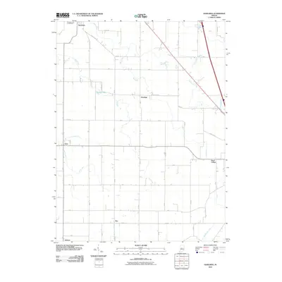
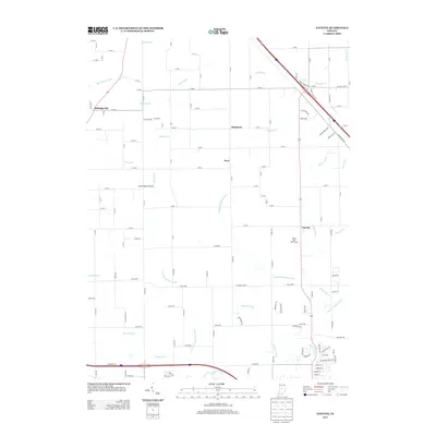
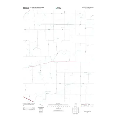
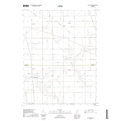
1961 Mechanicsburg
Boone County, IN
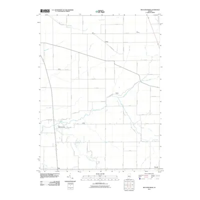
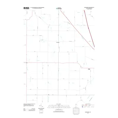
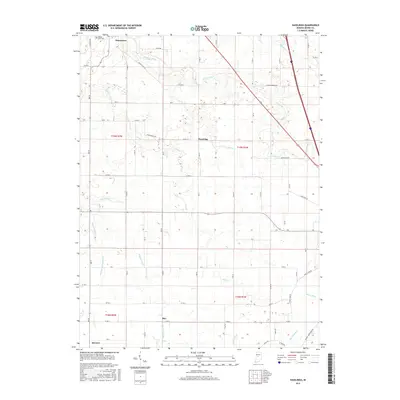
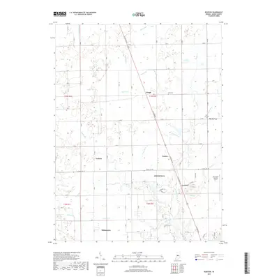
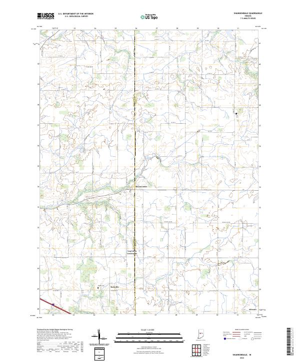
1961 Shannondale
Boone County, IN
1963 Fayette
Boone County, IN
1969 Rosston
Boone County, IN
2010 Fayette
Boone County, IN
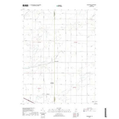
2010 Hazelrigg
Boone County, IN
2010 Mechanicsburg
Boone County, IN
2010 Rosston
Boone County, IN
2010 Shannondale
Boone County, IN
2013 Fayette
Boone County, IN
2013 Hazelrigg
Boone County, IN
2013 Mechanicsburg
Boone County, IN
2013 Rosston
Boone County, IN
2013 Shannondale
Boone County, IN
2016 Fayette
Boone County, IN
2016 Hazelrigg
Boone County, IN
2016 Mechanicsburg
Boone County, IN
2016 Rosston
Boone County, IN
2016 Shannondale
Boone County, IN
2019 Fayette
Boone County, IN
2019 Hazelrigg
Boone County, IN
2019 Mechanicsburg
Boone County, IN
2019 Rosston
Boone County, IN
2019 Shannondale
Boone County, IN
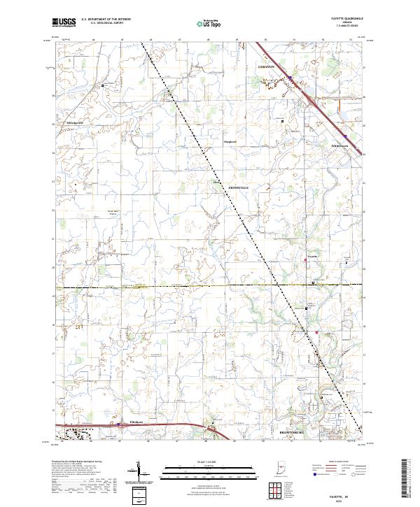
2022 Fayette
Boone County, IN
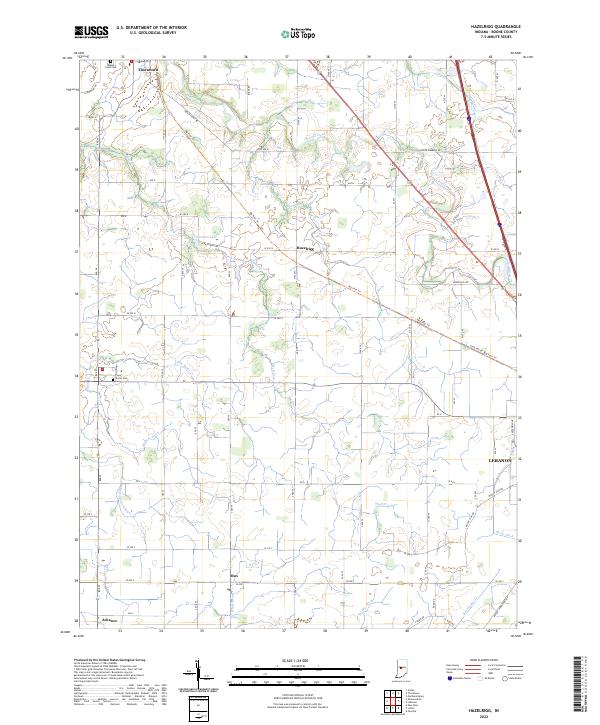
2022 Hazelrigg
Boone County, IN
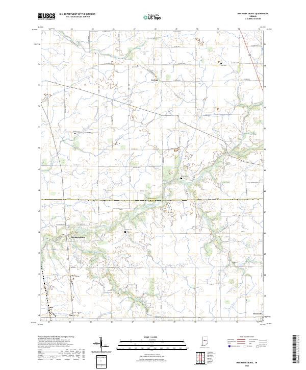
2022 Mechanicsburg
Boone County, IN
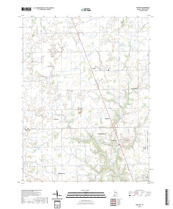
2022 Rosston
Boone County, IN
2022 Shannondale
Boone County, IN